
Related Images


Download:
| Tiny | 145x128 | View | Download |
| Small | 290x256 | View | Download |
| Medium | 580x512 | View | Download |
| Large | 1161x1024 | View | Download |
| Original | 2400x2115 | View | Download |
This image was acquired from
wikimedia. It was marked as Public Domain or CC0 and is free to use. To verify, go to the source and check the information there.
Looking for more info about this image?
Try a Google Reverse Image Search for it.
Try a Google Reverse Image Search for it.
Keywords from Image Description:
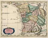
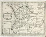
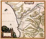
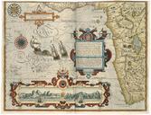
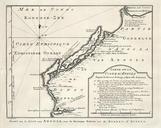
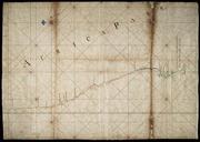
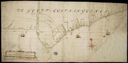
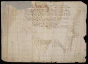
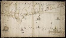
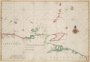
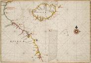
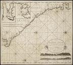
AMHNA Map of the coasts of Gabon Loanga and Angola. Artwork nl Kaart van de kusten van Gabon Loanga en Angola nl Kaart van de kusten van Gabon Loanga en Angola Titel catalogus Leupe NA Nieuwe Paskaart van de Custen Zee Loango en Angoy van Cabo de Lopo Gonsalves tot de Zaire off Congo vertoonende alle desselfs gelegentheden Uitgegeven