
Related Images


Download:
| Tiny | 101x128 | View | Download |
| Small | 203x256 | View | Download |
| Medium | 406x512 | View | Download |
| Large | 813x1024 | View | Download |
| Original | 3500x4406 | View | Download |
This image was acquired from
wikimedia. It was marked as Public Domain or CC0 and is free to use. To verify, go to the source and check the information there.
Looking for more info about this image?
Try a Google Reverse Image Search for it.
Try a Google Reverse Image Search for it.
Keywords from Image Description:
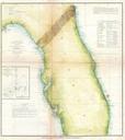
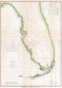
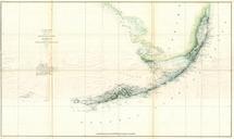
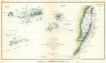
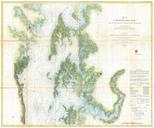
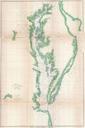
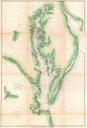
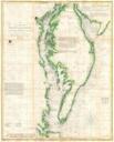
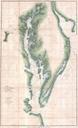
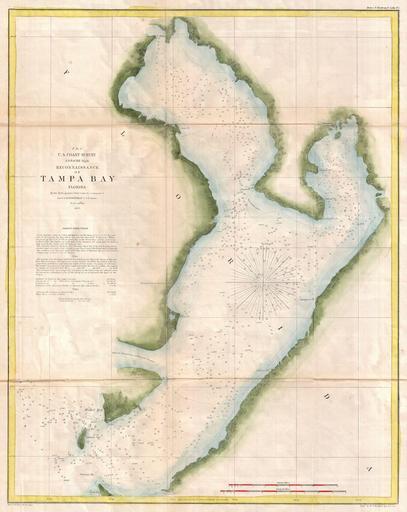
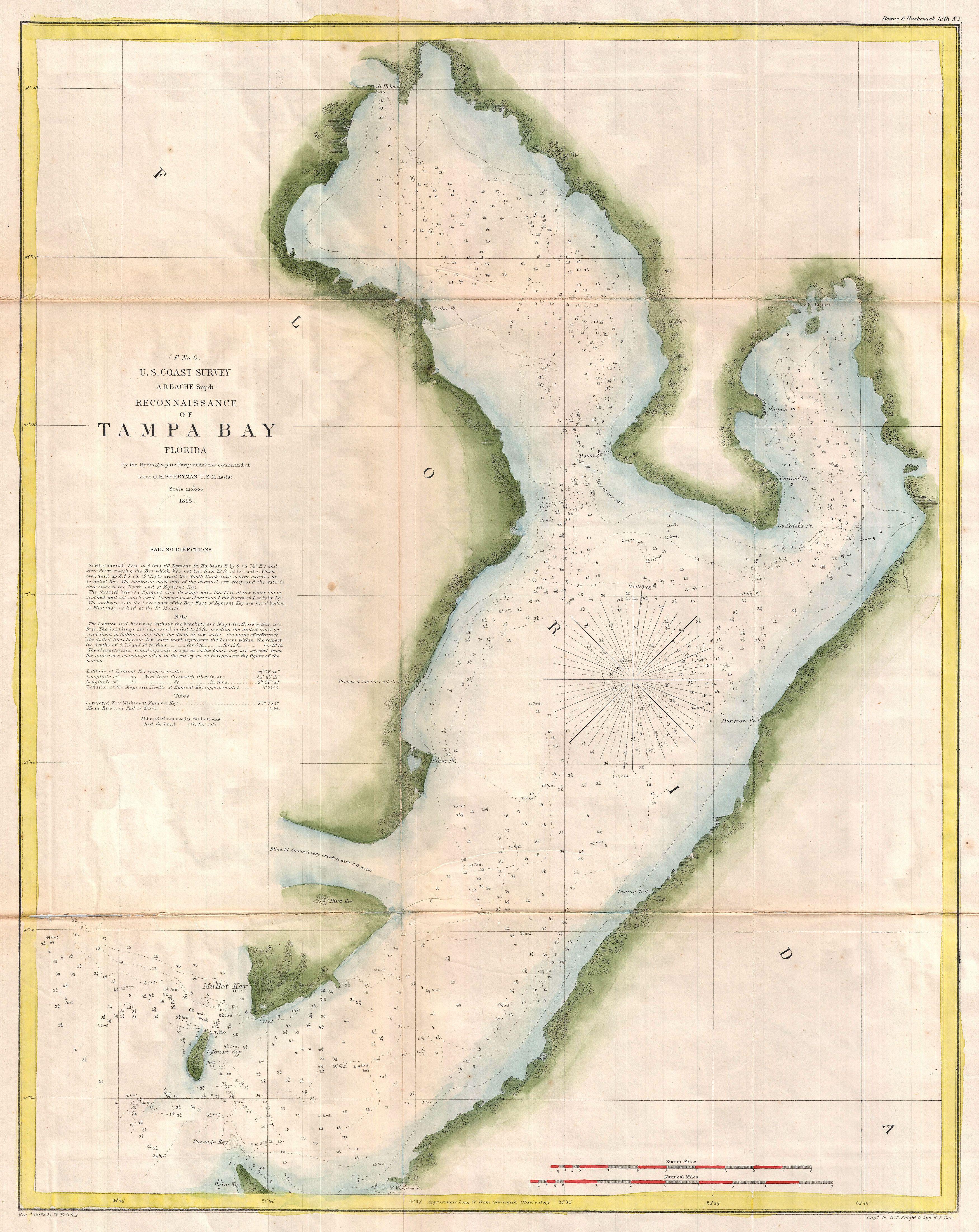
U.S. Coast Survey Chart or Map of Tampa Bay Florida Geographicus TampaBayuscs. very attractive example of the Coast Survey nautical chart or map of Tampa Bay Florida Centered on Passage Point this map covers from St Helena and Tampa south to Mullet Key and Palm Key Chart notes various triangulation points and the proposed site