
Related Images
Download:
| Tiny | 164x128 | View | Download |
| Small | 328x256 | View | Download |
| Medium | 657x512 | View | Download |
| Large | 1314x1024 | View | Download |
| Original | 2400x1869 | View | Download |
This image was acquired from
wikimedia. It was marked as Public Domain or CC0 and is free to use. To verify, go to the source and check the information there.
Looking for more info about this image?
Try a Google Reverse Image Search for it.
Try a Google Reverse Image Search for it.
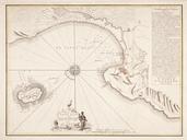
Keywords from Image Description:
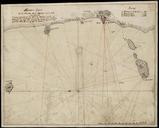
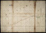
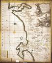
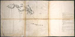
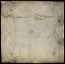
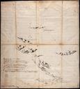
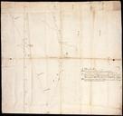
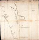
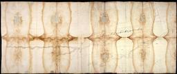
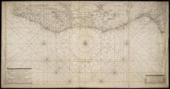
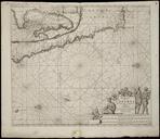
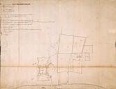
AMHNA Sketch map of Godinsbay between Cape Hinlopen and Cape May. Artwork nl Schetskaart van Godinsbay tussen Cape Hinlopen en Cape May nl Schetskaart van Godinsbay tussen Cape Hinlopen en Cape May Titel Catalogus Leupe NA Schetskaartje van Godinsbaay met de monden der WillemsGraef Ernst en Graef Hendrix Rivieren tusschen Cap Hinlopen