
Related Images


Download:
| Tiny | 169x128 | View | Download |
| Small | 339x256 | View | Download |
| Medium | 679x512 | View | Download |
| Original | 924x696 | View | Download |
This image was acquired from
wikimedia. It was marked as Public Domain or CC0 and is free to use. To verify, go to the source and check the information there.
Looking for more info about this image?
Try a Google Reverse Image Search for it.
Try a Google Reverse Image Search for it.
Keywords from Image Description:
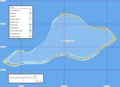
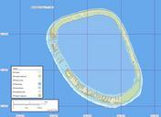
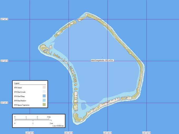
Atoll Fangataufa Map. Map created by Peter Minton using Landsat Image Global Mapper and Marplot en Pjmintonen en PDAUTHOR Peter Minton Original upload log en AtollFangataufaMap bytes Pjmintonen Map created by Peter Minton using Landsat Image Global Mapper and Marplot Fangataufa