
Related Images


Download:
| Tiny | 61x128 | View | Download |
| Small | 122x256 | View | Download |
| Medium | 245x512 | View | Download |
| Large | 490x1024 | View | Download |
| Original png | 1829x3816 | View | Download |
| Original as jpg | 1829x3816 | View | Download |
This image was acquired from
wikimedia. It was marked as Public Domain or CC0 and is free to use. To verify, go to the source and check the information there.
Looking for more info about this image?
Try a Google Reverse Image Search for it.
Try a Google Reverse Image Search for it.
Keywords from Image Description:
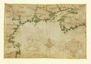
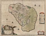
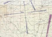
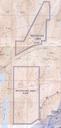
BlackRockGunneryRangeElkoAeroChart. en This Elko Sectional Aeronautical Chart shows the approximate location of the Black Rock Desert Gunnery Range The back side of the map has table titled Prohibited Restricted Caution and Warning Areas on Elko Sectional Chart The table states that is the Black Rock Desert which is has the following