
Related Images


Download:
| Tiny | 189x128 | View | Download |
| Small | 379x256 | View | Download |
| Medium | 758x512 | View | Download |
| Original | 1000x675 | View | Download |
This image was acquired from
wikimedia. It was marked as Public Domain or CC0 and is free to use. To verify, go to the source and check the information there.
Looking for more info about this image?
Try a Google Reverse Image Search for it.
Try a Google Reverse Image Search for it.
Keywords from Image Description:
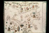
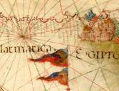
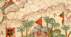
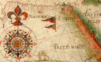
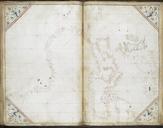
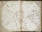
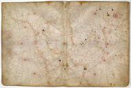
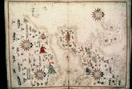
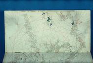
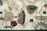
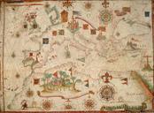
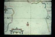
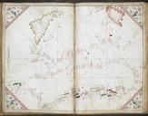
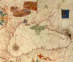
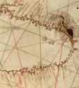
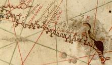
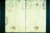
Bodleian Libraries Navigation chart the western approaches to the British Isles from the Americas Africa and the Mediterranean . John Burston's navigation chart scale bars are of leagues at leagues to degree that is on plane chart like this league is equal to miles of feet each Mounted on hinged boards mm mm slide exhibition