
Related Images


Download:
| Tiny | 189x128 | View | Download |
| Small | 379x256 | View | Download |
| Medium | 758x512 | View | Download |
| Original | 1000x675 | View | Download |
This image was acquired from
wikimedia. It was marked as Public Domain or CC0 and is free to use. To verify, go to the source and check the information there.
Looking for more info about this image?
Try a Google Reverse Image Search for it.
Try a Google Reverse Image Search for it.
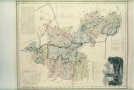
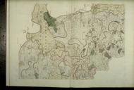
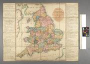
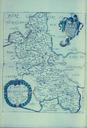
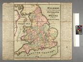
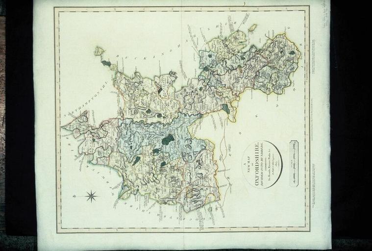
Keywords from Image Description:
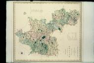
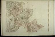
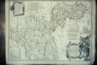
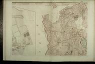
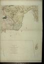
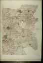
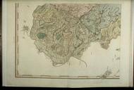
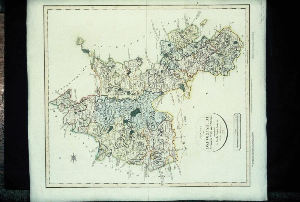
Bodleian Libraries New Map of Oxfordshire divided into its Hundreds. Conical projection county and hundred boundaries hillshading and three categories of roads from John Cary New English Atlas edition mm slide exhibition history Filmstrip Roll frame Source filename mapsxxaky object history object type dPDArt PDold ccby place