
Related Images


Download:
| Tiny | 99x128 | View | Download |
| Small | 198x256 | View | Download |
| Medium | 396x512 | View | Download |
| Large | 793x1024 | View | Download |
| Original | 4000x5162 | View | Download |
This image was acquired from
wikimedia. It was marked as Public Domain or CC0 and is free to use. To verify, go to the source and check the information there.
Looking for more info about this image?
Try a Google Reverse Image Search for it.
Try a Google Reverse Image Search for it.
Keywords from Image Description:
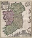
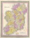
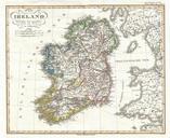
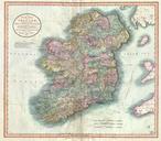
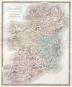
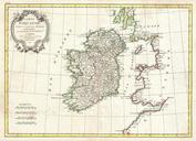
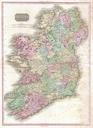
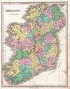
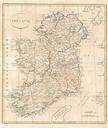
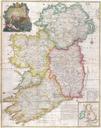
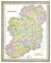
Wyld Pocket or Case Map of Ireland Geographicus Irelandwyld. stunning example of James Wyld's case map of Ireland Covers the entirety of Ireland as well as the major nautical and ferry routes between Ireland England and Scotland Divided and color coded into provinces and counties Offers extraordinary detail throughout identifying