Related Images


Download:
| Tiny | 189x128 | View | Download |
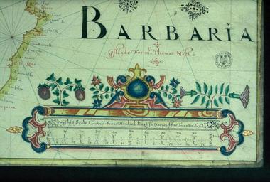
| Small | 379x256 | View | Download |
| Medium | 758x512 | View | Download |
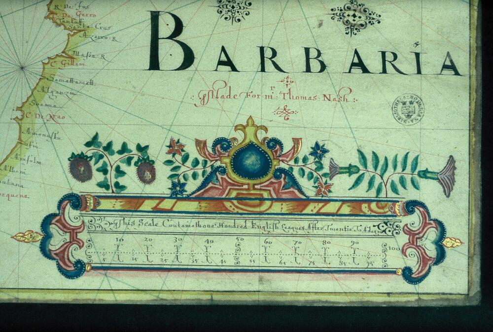
| Original | 1000x675 | View | Download |
This image was acquired from
wikimedia. It was marked as Public Domain or CC0 and is free to use. To verify, go to the source and check the information there.
Looking for more info about this image?
Try a Google Reverse Image Search for it.
Try a Google Reverse Image Search for it.
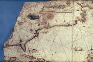
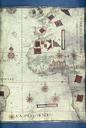
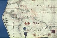
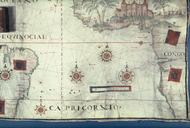
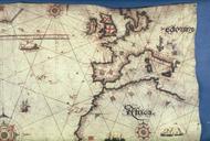
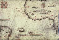
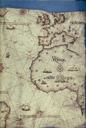
Keywords from Image Description:
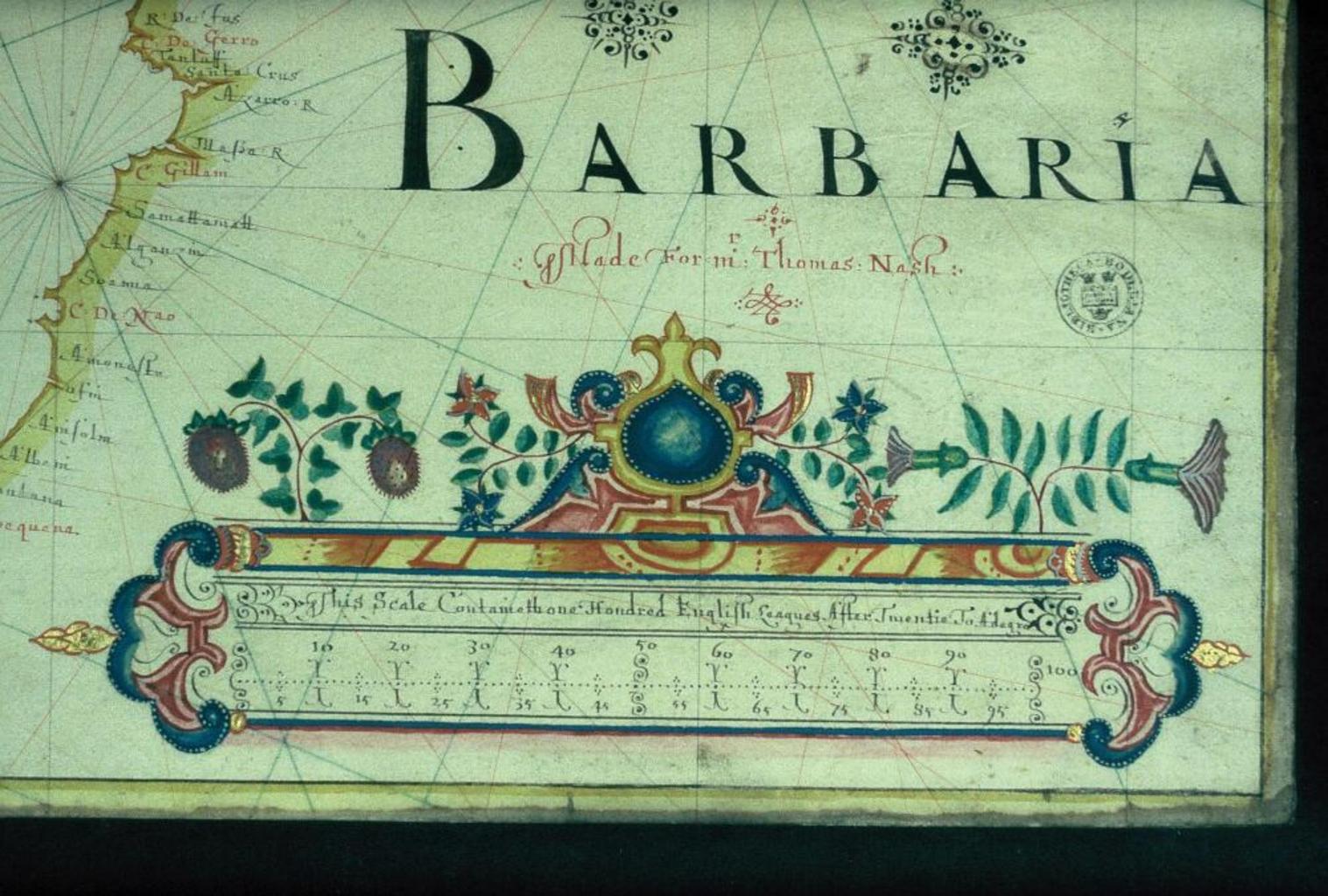
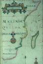
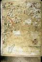
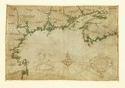
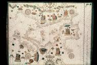
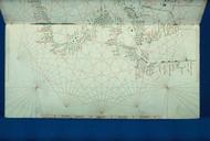
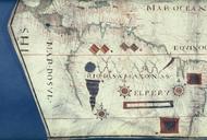
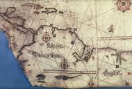
Bodleian Libraries Portolan chart of the North Atlantic Ocean by John Burston. Decorated scale in closeup from John Burston's portolan chart MAP RES MS Bodl Add Mounted on hinged boards mm slide exhibition history Filmstrip Roll frame Source filename mapsxxams object history object type dPDArt PDold ccby place of creation London