
Related Images


Download:
| Tiny | 136x128 | View | Download |
| Small | 273x256 | View | Download |
| Medium | 546x512 | View | Download |
| Large | 1093x1024 | View | Download |
| Original | 1182x1107 | View | Download |
This image was acquired from
wikimedia. It was marked as Public Domain or CC0 and is free to use. To verify, go to the source and check the information there.
Looking for more info about this image?
Try a Google Reverse Image Search for it.
Try a Google Reverse Image Search for it.
Keywords from Image Description:
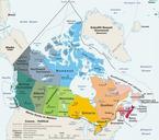
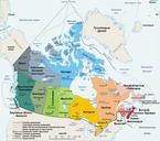
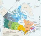
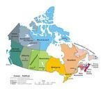
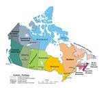
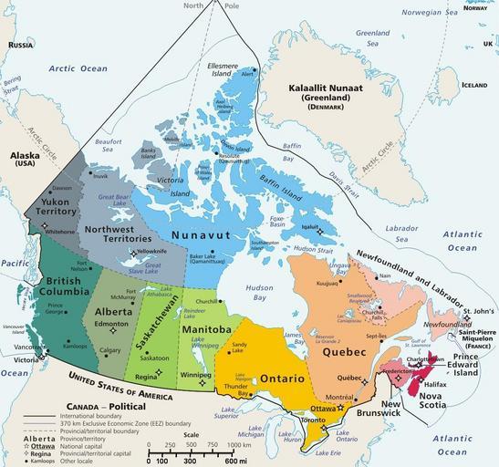
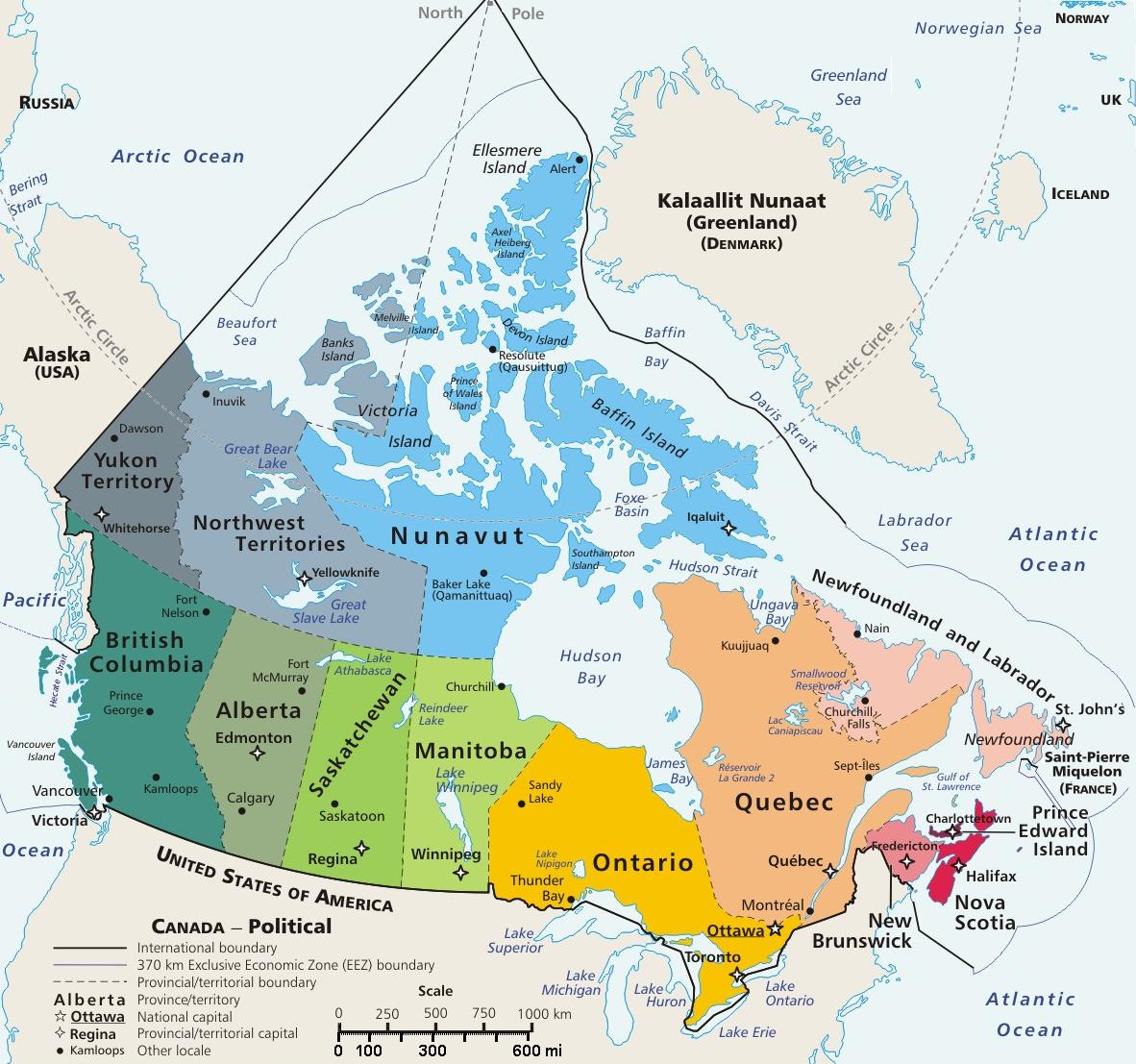
Canada geopolitical map trim. Map of Canada showing largest cities lakes and province names This map has locator code CanadaGeo for use in maplocator templates such as English Template LocationmapCanadaGeo Template Locationmappolarx which skews northern coordinates for multiple map markers on polar map The latitude coordinates are