
Related Images


Download:
| Tiny | 148x128 | View | Download |
| Small | 296x256 | View | Download |
| Medium | 592x512 | View | Download |
| Large | 1184x1024 | View | Download |
| Original png | 1280x1107 | View | Download |
| Original as jpg | 1280x1107 | View | Download |
This image was acquired from
wikimedia. It was marked as Public Domain or CC0 and is free to use. To verify, go to the source and check the information there.
Looking for more info about this image?
Try a Google Reverse Image Search for it.
Try a Google Reverse Image Search for it.
Keywords from Image Description:
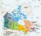
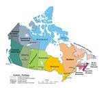
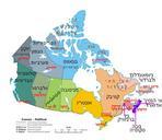
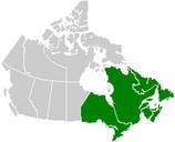
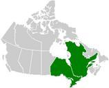
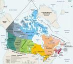
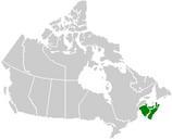
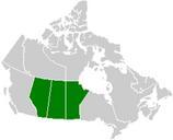
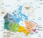
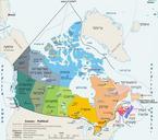
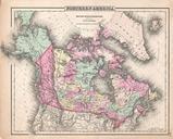
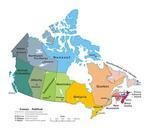
Map Canada political . en map of Canada exhibiting its ten provinces and three territories and their capitals MapCanadapolitical UTC MapCanadapolitical Pluribus Anthony transferred to Commons by Kaveh optimized by Andrew pmk derivative work Merosonox talk transparency outline GIMP MapCanadapolitical PDuserw original upload