Related Images


Download:
| Tiny | 85x128 | View | Download |
| Small | 171x256 | View | Download |
| Medium | 343x512 | View | Download |
| Large | 687x1024 | View | Download |
| Original | 2398x3572 | View | Download |
This image was acquired from
wikimedia. It was marked as Public Domain or CC0 and is free to use. To verify, go to the source and check the information there.
Looking for more info about this image?
Try a Google Reverse Image Search for it.
Try a Google Reverse Image Search for it.
Keywords from Image Description:
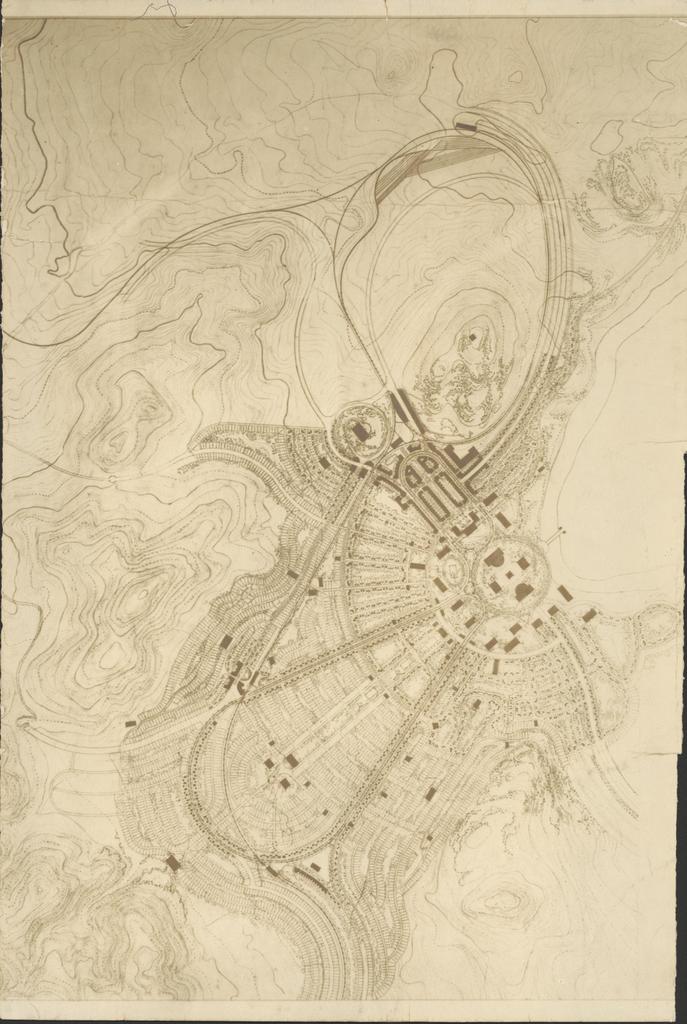
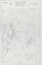
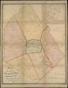
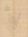
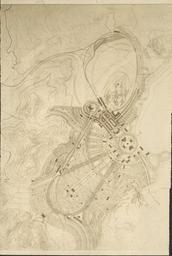
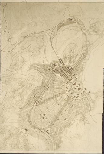
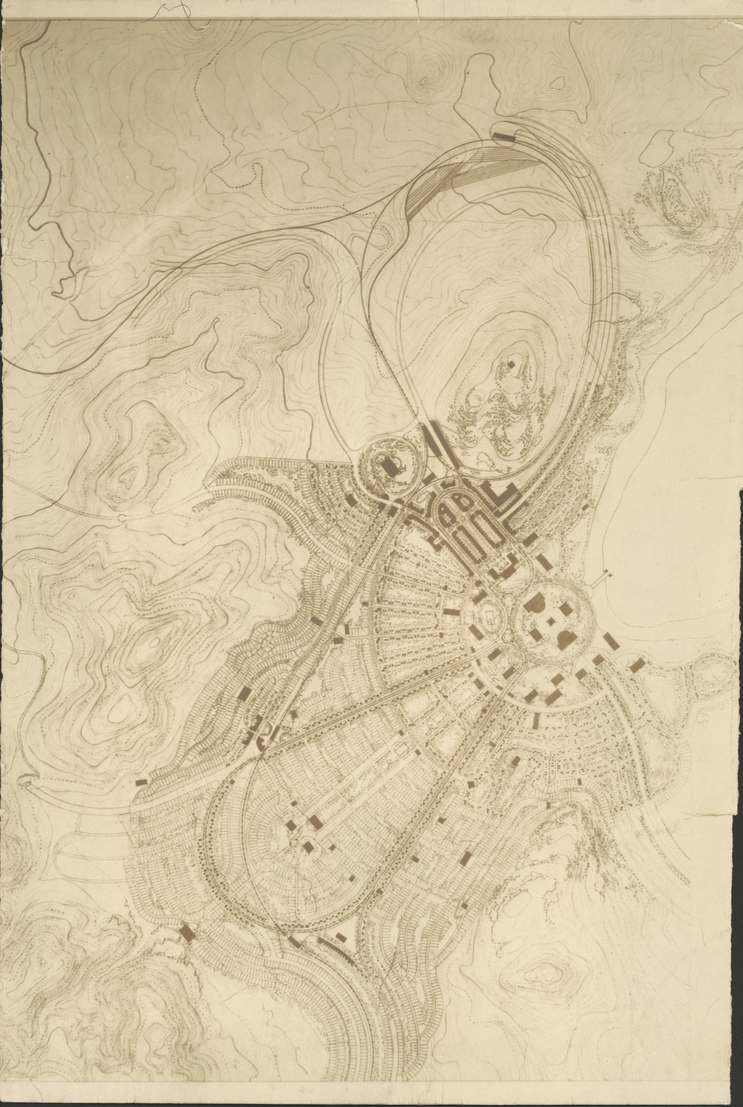
Industrial Town map trim nla.picvns. en Map of Industrial Town proposal for the Tuggeranong area in world war Note south is up on this map with Murrumbidgee river on top right Map drawn for Australian Governmewnt probably by Walter Burleigh Griffin Walter Burleigh Griffin PDAustralia Maps of the Australian Capital Territory Tuggeranong