
Related Images


Download:
| Tiny | 147x128 | View | Download |
| Small | 295x256 | View | Download |
| Original svg | 451x391 | View | Download |
| Original as jpg | 451x391 | View | Download |
This image was acquired from
wikimedia. It was marked as Public Domain or CC0 and is free to use. To verify, go to the source and check the information there.
Looking for more info about this image?
Try a Google Reverse Image Search for it.
Try a Google Reverse Image Search for it.
Keywords from Image Description:
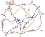
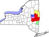
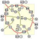
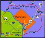
Capital Beltway Map Color.svg Interstate in the state of Maryland and Commonwealth of Virgina in red surrounds the District of Columbia like belt hence the name Own based on Image Capital Beltway Map Color by Squiggygfm Made with Inkscape SVG maps of Washington Road maps of Virginia Road maps of Maryland SVG maps of the United