Related Images


Download:
| Tiny | 134x128 | View | Download |
| Small | 268x256 | View | Download |
| Medium | 537x512 | View | Download |
| Large | 1074x1024 | View | Download |
| Original svg | 1624x1548 | View | Download |
| Original as jpg | 1624x1548 | View | Download |
This image was acquired from
wikimedia. It was marked as Public Domain or CC0 and is free to use. To verify, go to the source and check the information there.
Looking for more info about this image?
Try a Google Reverse Image Search for it.
Try a Google Reverse Image Search for it.
Keywords from Image Description:
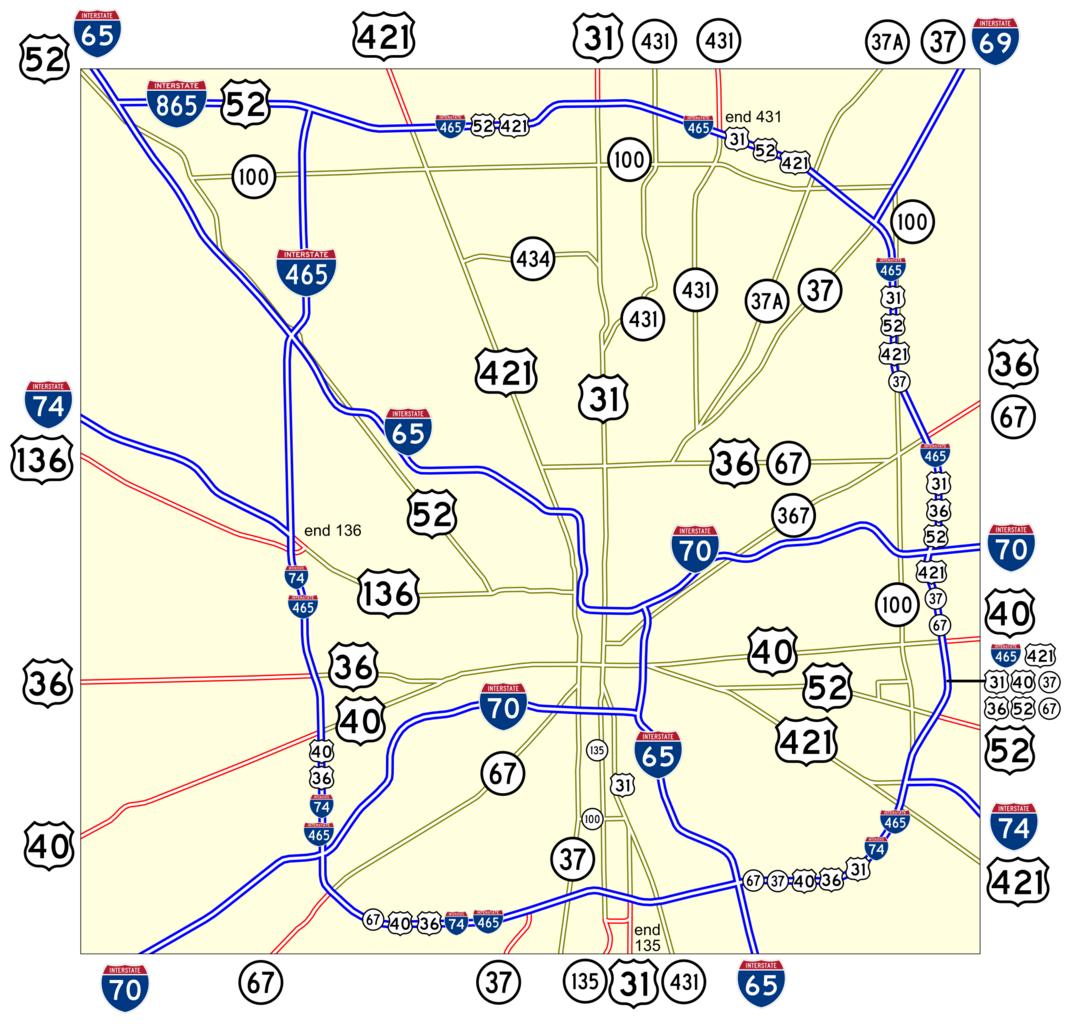
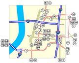
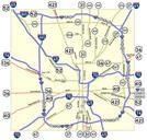
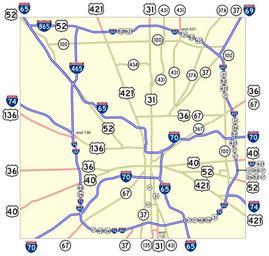
Indianapolis.svg spuimap Map of numbered routes in Indianapolis Indiana Traced on USGS topos Information is from the maps and photos on highwayexplorer php Blue Interstate Red Current route Yellow Former route If you need thumbnail use Image Indianapolis An alternate version at Image Indianapolis numbered routes labeled svg shows