Related Images


Download:
| Tiny | 126x128 | View | Download |
| Small | 253x256 | View | Download |
| Medium | 507x512 | View | Download |
| Original | 964x972 | View | Download |
This image was acquired from
wikimedia. It was marked as Public Domain or CC0 and is free to use. To verify, go to the source and check the information there.
Looking for more info about this image?
Try a Google Reverse Image Search for it.
Try a Google Reverse Image Search for it.
Keywords from Image Description:
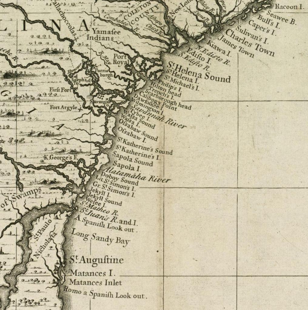
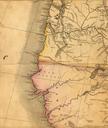
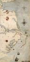
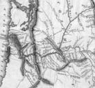
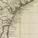
CarolinaToFloridaCoast. Detail from map showing the coast of North America between presentday Charleston South Carolina and St Augustine Florida The Boston Public Library digital map archive Call Number bpl org published Henry Popple PDold Old maps of North America Old maps of South Carolina Old maps of Georgia state Old maps of