Related Images


Download:
| Tiny | 107x128 | View | Download |
| Small | 215x256 | View | Download |
| Medium | 431x512 | View | Download |
| Large | 863x1024 | View | Download |
| Original | 1489x1765 | View | Download |
This image was acquired from
wikimedia. It was marked as Public Domain or CC0 and is free to use. To verify, go to the source and check the information there.
Looking for more info about this image?
Try a Google Reverse Image Search for it.
Try a Google Reverse Image Search for it.
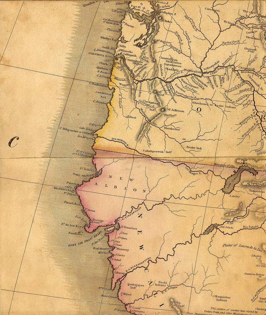
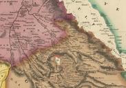
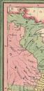
Keywords from Image Description:
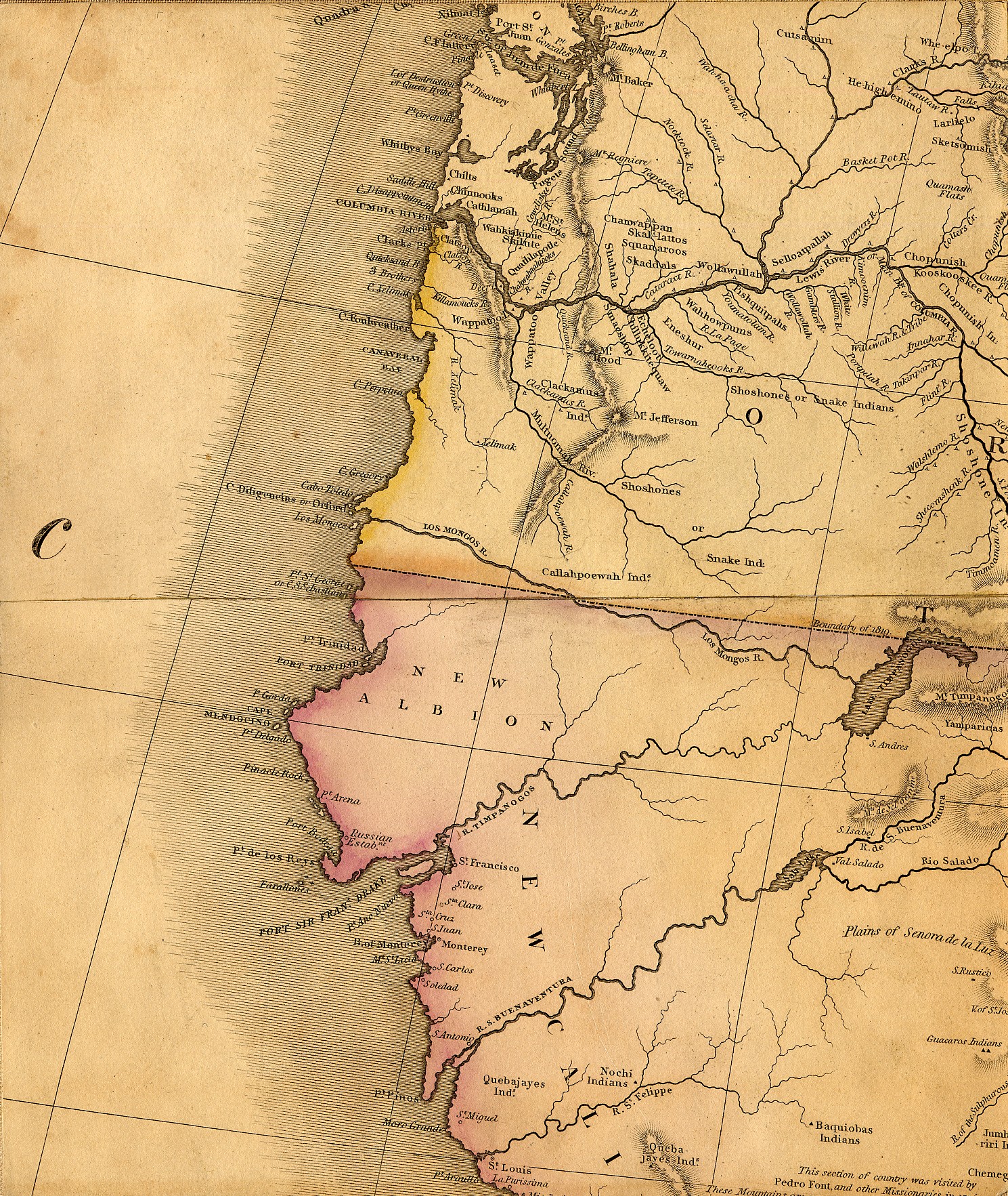
Tanner map part J. Henry Tanner's Map of North America part showing the Pacific Coast with fictive Rivers from the Rocky Mountains to the Pacific Ocean lib utulsa edu htm Creator Henry Schenck Tanner PDold Old maps of the United States Henry Schenck Tanner Maps showing the fictive Buenaventura River