Related Images


Download:
| Tiny | 178x128 | View | Download |
| Small | 357x256 | View | Download |
| Medium | 714x512 | View | Download |
| Large | 1428x1024 | View | Download |
| Original | 1920x1376 | View | Download |
This image was acquired from
wikimedia. It was marked as Public Domain or CC0 and is free to use. To verify, go to the source and check the information there.
Looking for more info about this image?
Try a Google Reverse Image Search for it.
Try a Google Reverse Image Search for it.
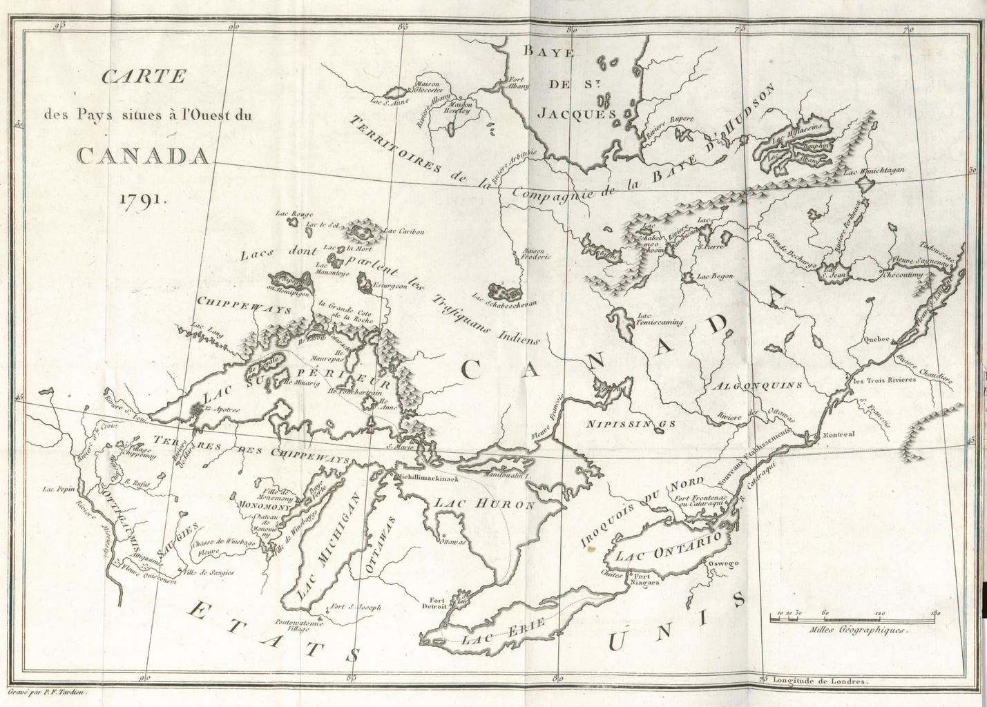
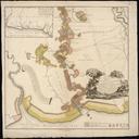
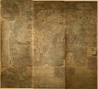
Keywords from Image Description:
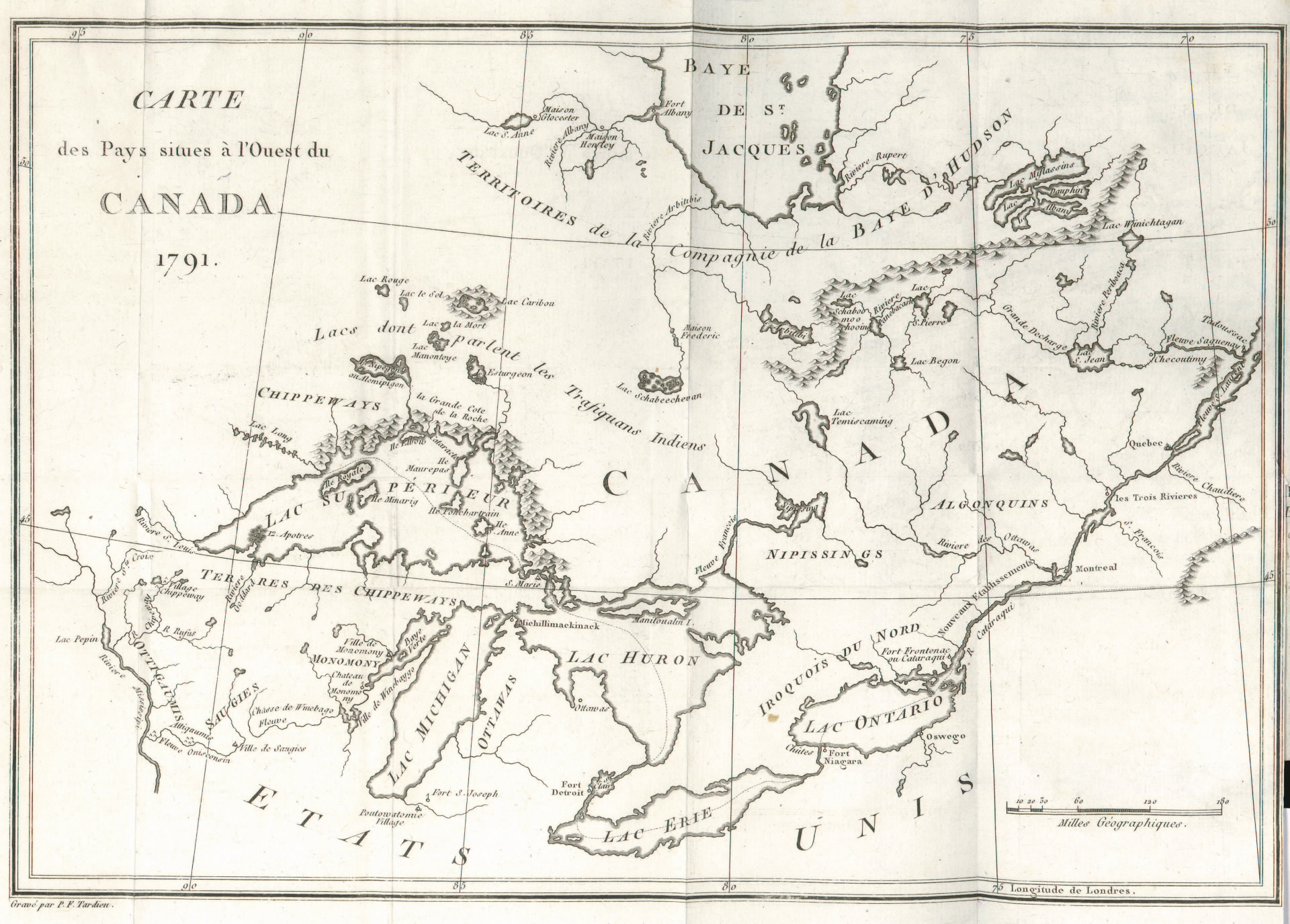
Carte des pays situes l'ouest du Canada . en map of Canada around the Great Lakes from the St Lawrence River to the Mississippi River and north to James Bay TPL torontopubliclibrary ca jsp Entt RDMDCOHQMAPSR DCOHQMAPSR Carte des pays situes l'ouest du Canada at the Toronto Public Library Tardieu Old maps of Canada PDold