Related Images

Download:
| Tiny | 170x128 | View | Download |
| Small | 341x256 | View | Download |
| Medium | 682x512 | View | Download |
| Original | 800x600 | View | Download |
This image was acquired from
wikimedia. It was marked as Public Domain or CC0 and is free to use. To verify, go to the source and check the information there.
Looking for more info about this image?
Try a Google Reverse Image Search for it.
Try a Google Reverse Image Search for it.
Keywords from Image Description:
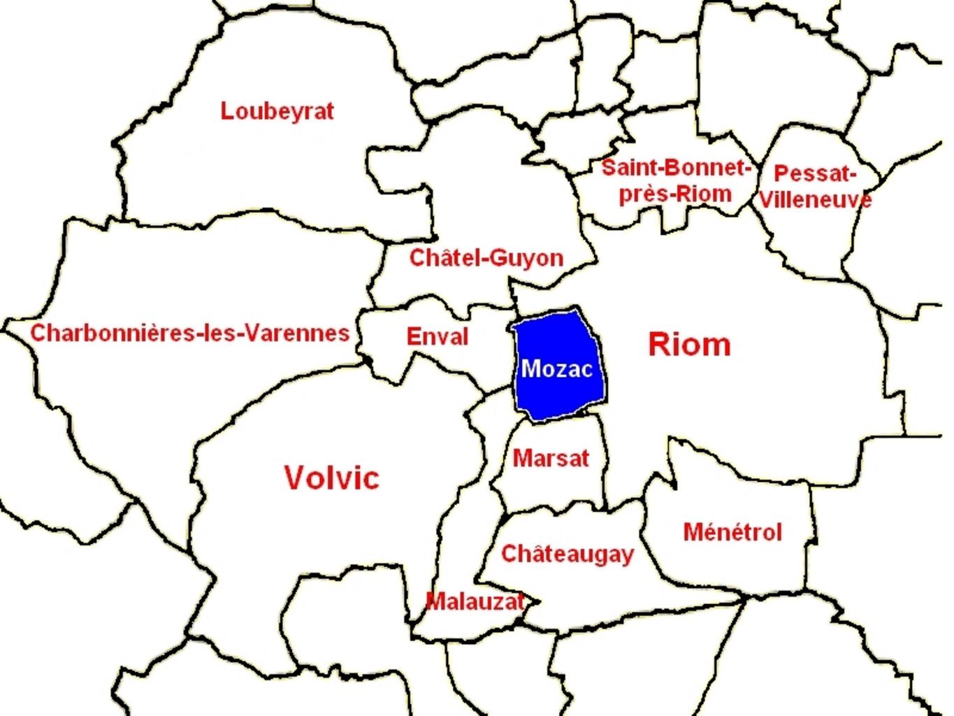
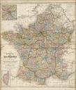
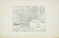
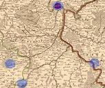
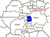
Carte Mozac et les communes environnantes. fr Carte gographique des limites administratives de Mozac et des communes environnantes D'aprs les limites tablies partir des cadastre gouv fr cadastres et de l' geoportail fr IGN Orientation Nord chelle cm km own Matthieu Perona Mozac Administrative limits in France