Related Images


Download:
| Tiny | 53x128 | View | Download |
| Small | 107x256 | View | Download |
| Medium | 215x512 | View | Download |
| Large | 431x1024 | View | Download |
| Original | 634x1503 | View | Download |
This image was acquired from
wikimedia. It was marked as Public Domain or CC0 and is free to use. To verify, go to the source and check the information there.
Looking for more info about this image?
Try a Google Reverse Image Search for it.
Try a Google Reverse Image Search for it.
Keywords from Image Description:
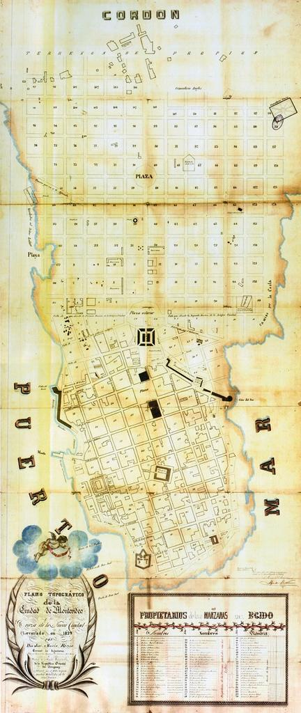
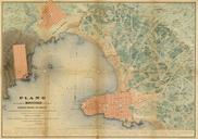
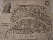
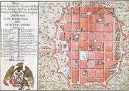
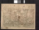
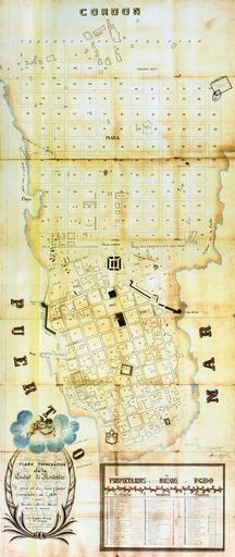
Centrooldmap. map of the Ciudad Nueva of Montevideo Uruguay In that year the National Assembly decided to pull down the fortifiactions of the Ciudad Vieja and extend the city to form the Ciudad Nueva The tracing project was given to military engineer Don Jos Mara Reyes In our times the extension is the barrio Centro of Montevideo