Related Images


Download:
| Tiny | 181x128 | View | Download |
| Small | 363x256 | View | Download |
| Medium | 726x512 | View | Download |
| Large | 1452x1024 | View | Download |
| Original | 1969x1388 | View | Download |
This image was acquired from
wikimedia. It was marked as Public Domain or CC0 and is free to use. To verify, go to the source and check the information there.
Looking for more info about this image?
Try a Google Reverse Image Search for it.
Try a Google Reverse Image Search for it.
Keywords from Image Description:
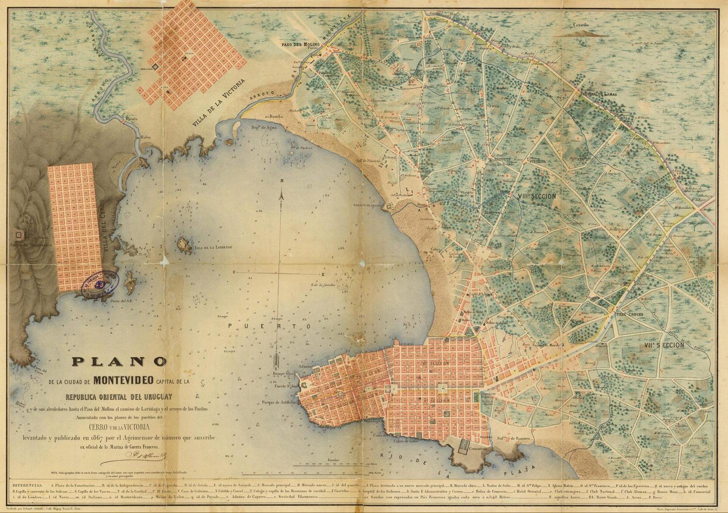
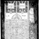
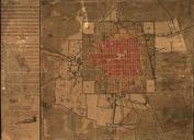
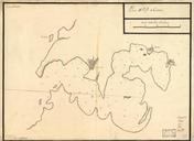
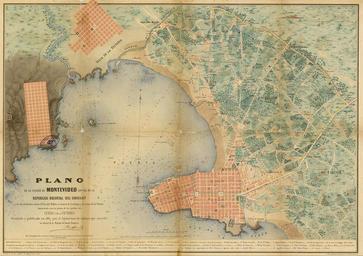
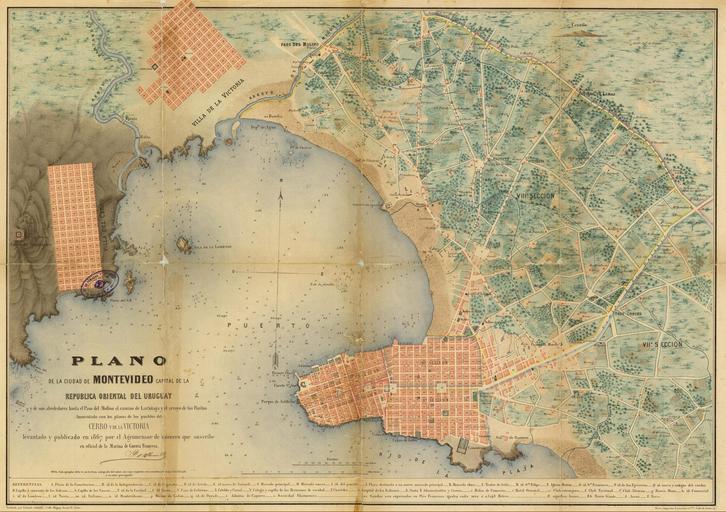
PlanoMontevideo. en Map of the City of Montevideo and old towns today neighborhoods of Villa del Cerro and Pueblo Victoria disegned in by the French surveyor D'Albenne es Plano de la Ciudad de Montevideo los antiguos pueblos hoy da barrios de Villa del Cerro Pueblo Victoria levantado en por el agrimensor francs D'Albenne barrioatahualpa