
Related Images


Download:
| Tiny | 160x128 | View | Download |
| Small | 320x256 | View | Download |
| Medium | 640x512 | View | Download |
| Large | 1281x1024 | View | Download |
| Original | 8014x6406 | View | Download |
This image was acquired from
wikimedia. It was marked as Public Domain or CC0 and is free to use. To verify, go to the source and check the information there.
Looking for more info about this image?
Try a Google Reverse Image Search for it.
Try a Google Reverse Image Search for it.
Keywords from Image Description:
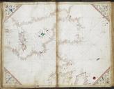
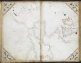
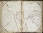
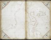
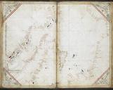
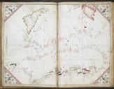
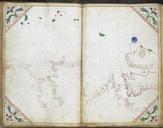
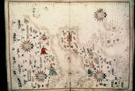
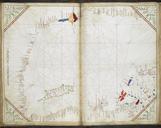
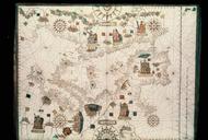
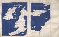
Chart of the western half of the Mediterranean and the western coast of Europe with part of Britain and Ireland. Cornaro Atlas Egerton MS f.r.jpeg accession number Chart of the western half of the Mediterranean and the western coast of Europe with part of Britain and Ireland Institution British Library map date other fields Information