Related Images


Download:
| Tiny | 171x128 | View | Download |
| Small | 342x256 | View | Download |
| Medium | 684x512 | View | Download |
| Original png | 864x646 | View | Download |
| Original as jpg | 864x646 | View | Download |
This image was acquired from
wikimedia. It was marked as Public Domain or CC0 and is free to use. To verify, go to the source and check the information there.
Looking for more info about this image?
Try a Google Reverse Image Search for it.
Try a Google Reverse Image Search for it.
Keywords from Image Description:
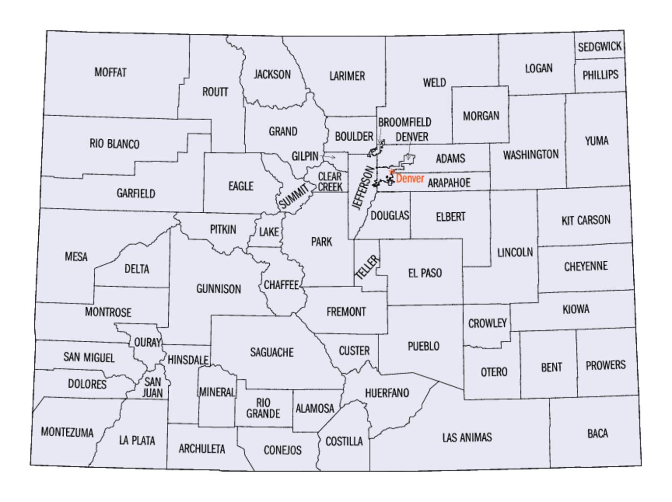
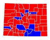
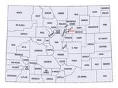
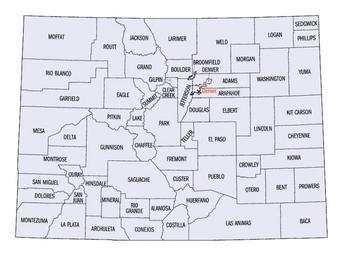
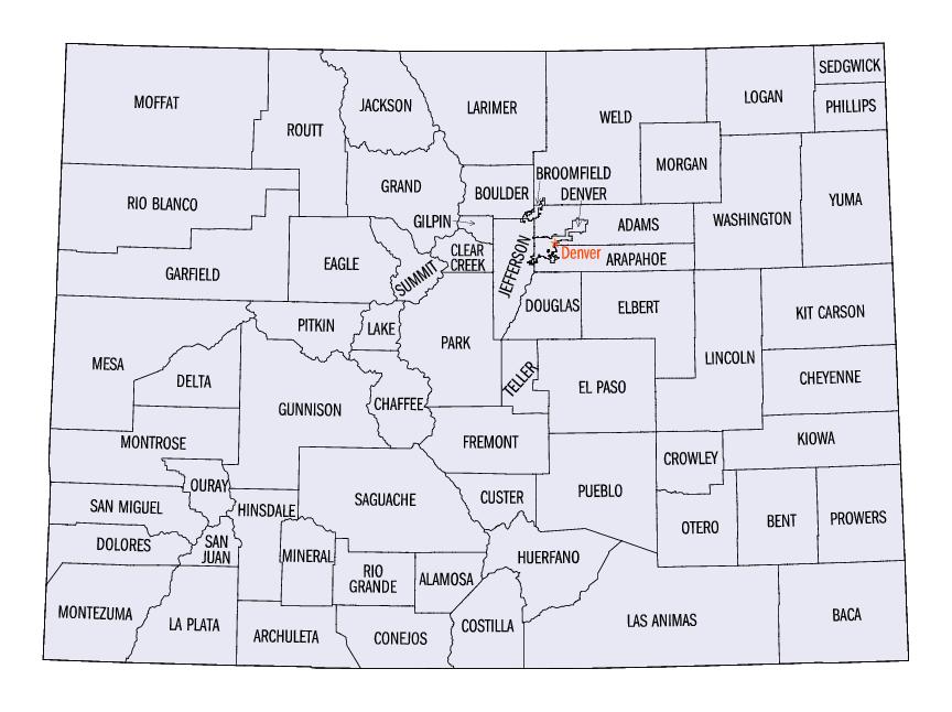
Coloradocountiesmap. Map showing counties of Colorado fedstats gov fedstats gov FedStats This is an original work by the United States Federal Government thus it belongs to public domain PDUSGov Maps of counties of Colorado Original upload log bytes Yassie no Map showing counties of Colorado fedstats gov FedStats