Related Images


Download:
| Tiny | 162x128 | View | Download |
| Small | 325x256 | View | Download |
| Medium | 650x512 | View | Download |
| Large | 1300x1024 | View | Download |
| Original png | 3265x2571 | View | Download |
| Original as jpg | 3265x2571 | View | Download |
This image was acquired from
wikimedia. It was marked as Public Domain or CC0 and is free to use. To verify, go to the source and check the information there.
Looking for more info about this image?
Try a Google Reverse Image Search for it.
Try a Google Reverse Image Search for it.
Keywords from Image Description:
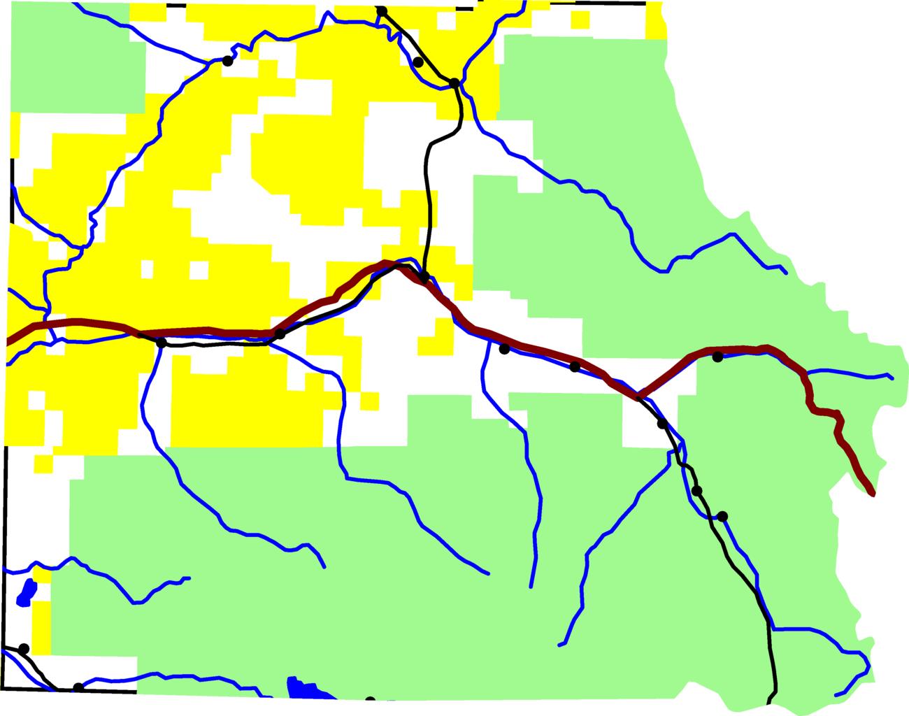
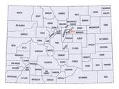
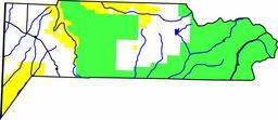
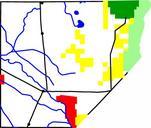
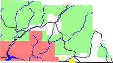
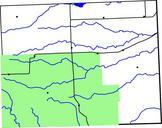
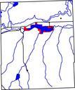
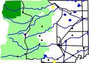
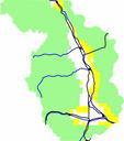
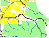
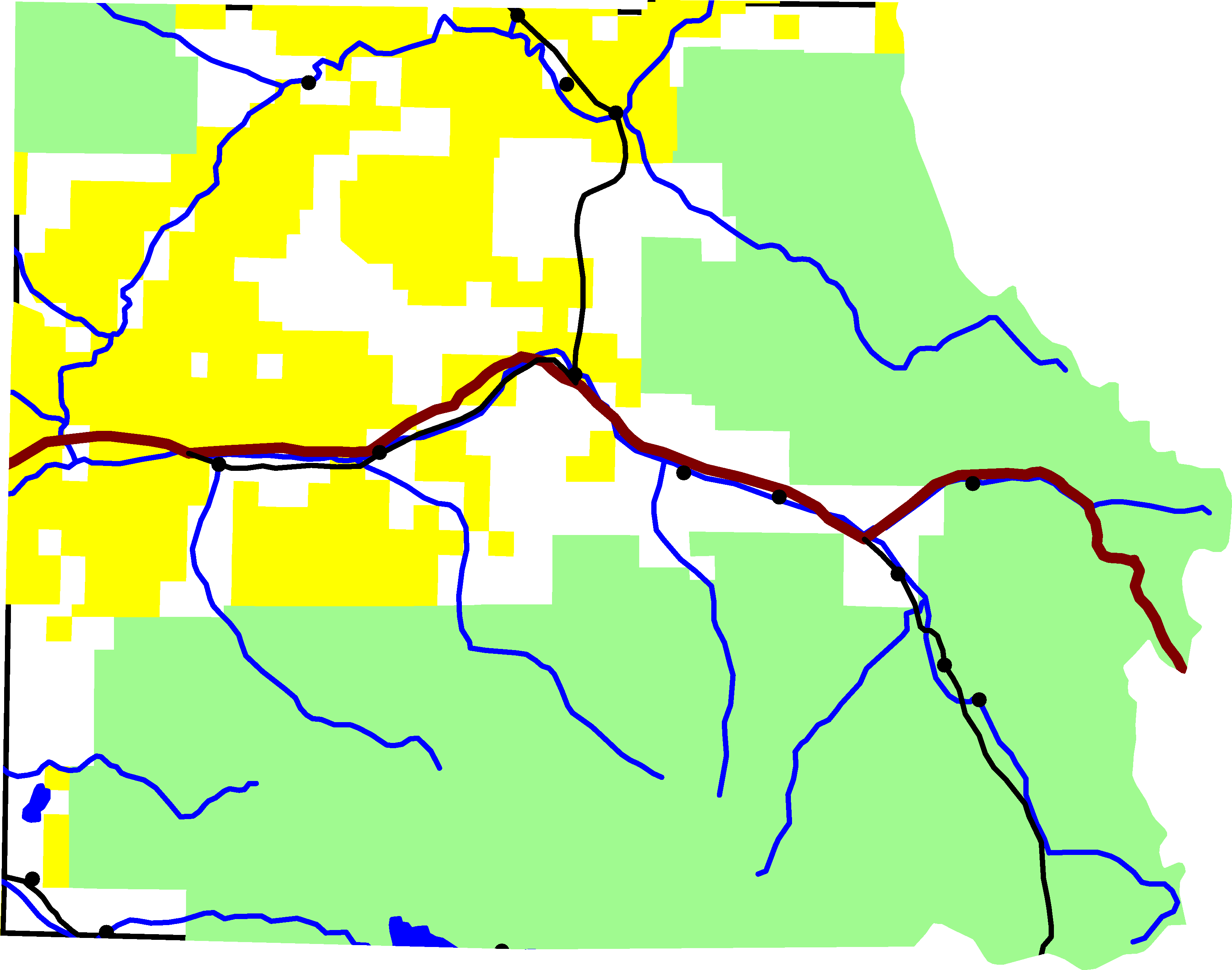
Map of Eagle County Colorado. map of Eagle County Colorado Green is White River National Forest yellow is Bureau of Land Management land The reddish line from east to west is Interstate The black lines are roads In the southeastern quadrant is Highway In the northcentral is Colorado State Highway Running along is Highway And in