
Related Images

Download:
| Tiny | 215x128 | View | Download |
| Small | 431x256 | View | Download |
| Medium | 862x512 | View | Download |
| Original svg | 1152x684 | View | Download |
| Original as jpg | 1152x684 | View | Download |
This image was acquired from
wikimedia. It was marked as Public Domain or CC0 and is free to use. To verify, go to the source and check the information there.
Looking for more info about this image?
Try a Google Reverse Image Search for it.
Try a Google Reverse Image Search for it.
Keywords from Image Description:
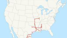
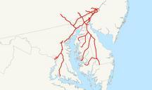
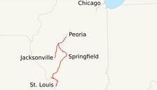
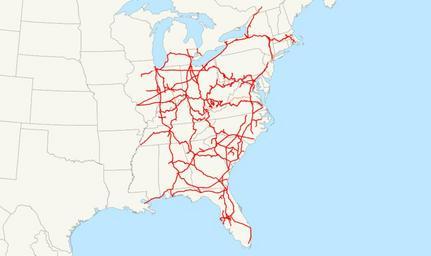
CSX map.svg CSX Transportation system map svg This is map of the CSX rail network Only selected trackage rights are shown The following GIS data was used sample data included with ArcGIS for state and provincial boundaries bts gov NORTAD for Canadian rail lines bts gov National Transportation Atlas Database for rail lines standard