Related Images
Download:
| Tiny | 124x128 | View | Download |
| Small | 249x256 | View | Download |
| Medium | 499x512 | View | Download |
| Large | 999x1024 | View | Download |
| Original svg | 1618x1657 | View | Download |
| Original as jpg | 1618x1657 | View | Download |
This image was acquired from
wikimedia. It was marked as Public Domain or CC0 and is free to use. To verify, go to the source and check the information there.
Looking for more info about this image?
Try a Google Reverse Image Search for it.
Try a Google Reverse Image Search for it.
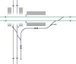
Keywords from Image Description:
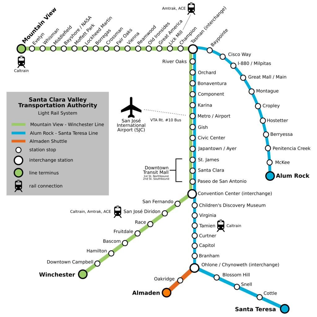
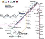
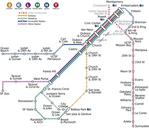
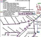
VTALightRail.svg Map of Santa Clara Valley Transportation Authority light rail system Created by Bayberrylane at en using Inkscape version June Modified by ChrisRuvolo cleaned up SVG made more legible removed unneeded whitespace removed traces of other rail lines added train and airport icons from File airtransportation svg