Download:
| Tiny | 122x128 | View | Download |
| Small | 245x256 | View | Download |
| Medium | 490x512 | View | Download |
| Original | 509x531 | View | Download |
This image was acquired from
wikimedia. It was marked as Public Domain or CC0 and is free to use. To verify, go to the source and check the information there.
Looking for more info about this image?
Try a Google Reverse Image Search for it.
Try a Google Reverse Image Search for it.
Keywords from Image Description:
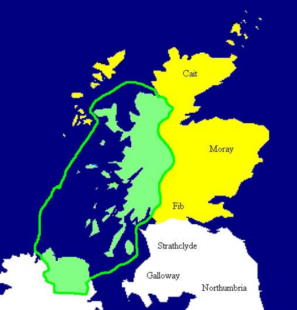
Dalriada. Extent of the Kingdom of Dl Riata in green AD Yellow areas show occupation by the Picts Mapa de Dalriada hacia el ao Las regiones pictas estn marcadas en amarillo Copied from en Image Dalriada en User Briangotts badJPEG map Briangotts Maps of the history of Scotland
