
Related Images


Download:
| Tiny | 98x128 | View | Download |
| Small | 196x256 | View | Download |
| Medium | 392x512 | View | Download |
| Original | 632x824 | View | Download |
This image was acquired from
wikimedia. It was marked as Public Domain or CC0 and is free to use. To verify, go to the source and check the information there.
Looking for more info about this image?
Try a Google Reverse Image Search for it.
Try a Google Reverse Image Search for it.
Keywords from Image Description:
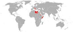
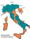
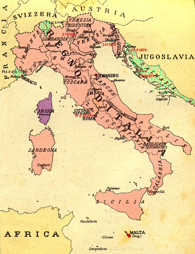
RegioniIrredenteItalia. Map of Kingdom of Italy showing the areas claimed by Irredentism in red Malta in purple Corsica in yellow with green points Dalmatia Ticino and Nizzardo have used as basic map an old map from an Italian geography and history school book of Scuole Medie Inferiori and have written and painted on it br caption