
Related Images


Download:
| Tiny | 142x128 | View | Download |
| Small | 285x256 | View | Download |
| Medium | 570x512 | View | Download |
| Large | 1141x1024 | View | Download |
| Original | 6330x5677 | View | Download |
This image was acquired from
wikimedia. It was marked as Public Domain or CC0 and is free to use. To verify, go to the source and check the information there.
Looking for more info about this image?
Try a Google Reverse Image Search for it.
Try a Google Reverse Image Search for it.
Keywords from Image Description:
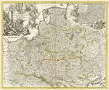
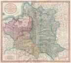
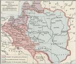
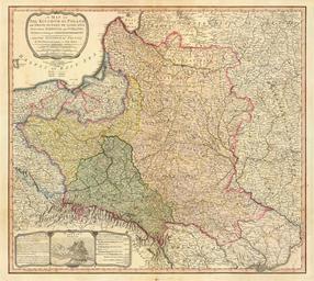
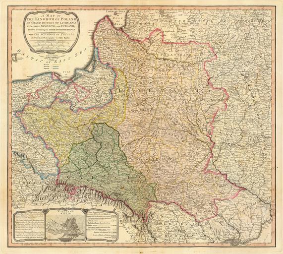
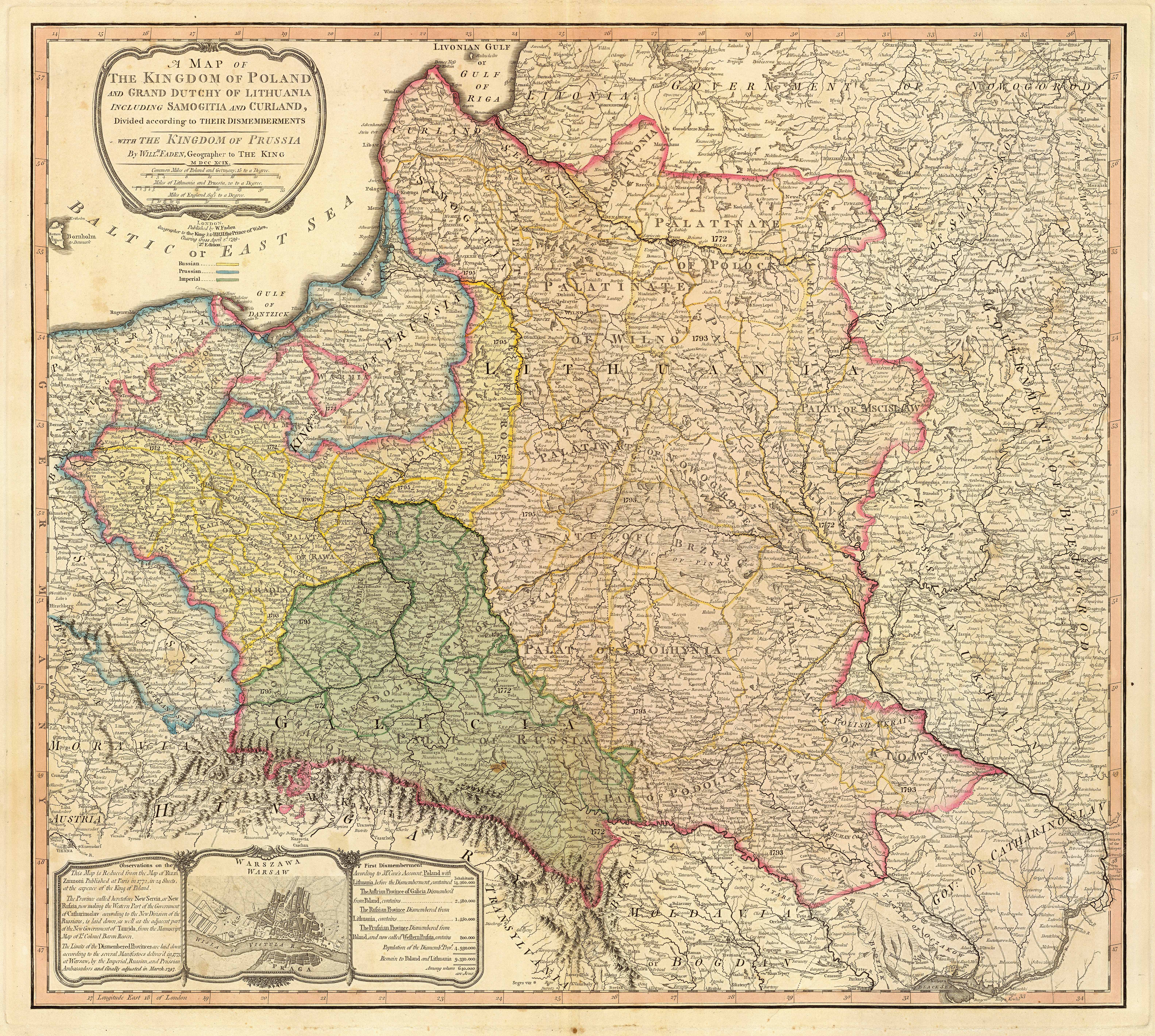
Map of the partition of the Kingdom of Poland and the Grand Duchy of Lithuania from . Title map of the Kingdom of Poland and the Grand Duchy of Lithuania including Samogitia and Curland divided according to their dismemberments with the Kingdom of Prussia map from showing how the PolishLithuanian Commonwealth was partitioned in