
Related Images


This image was acquired from
wikimedia. It was marked as Public Domain or CC0 and is free to use. To verify, go to the source and check the information there.
Looking for more info about this image?
Try a Google Reverse Image Search for it.
Try a Google Reverse Image Search for it.
Keywords from Image Description:
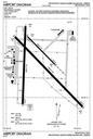
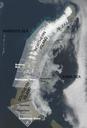
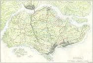
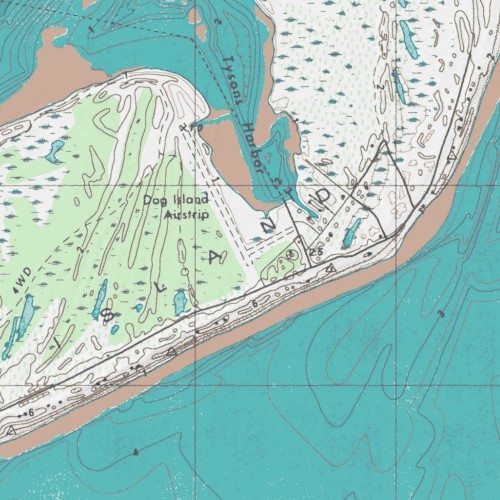
Dog Island Airport Topograpgical Map. en Topographical Map of Dog Island Airport mytopo aspx VERSION REQUEST GetMap layers drg hillshade map Mapservermapfileszone map width height bbox srs EPSG format image Geological Survey PDUSGov Uploaded with Airports Dog Island Florida