Related Images


Download:
| Tiny | 144x128 | View | Download |
| Small | 289x256 | View | Download |
| Medium | 578x512 | View | Download |
| Large | 1156x1024 | View | Download |
| Original | 6520x5772 | View | Download |
This image was acquired from
wikimedia. It was marked as Public Domain or CC0 and is free to use. To verify, go to the source and check the information there.
Looking for more info about this image?
Try a Google Reverse Image Search for it.
Try a Google Reverse Image Search for it.
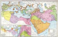
Keywords from Image Description:
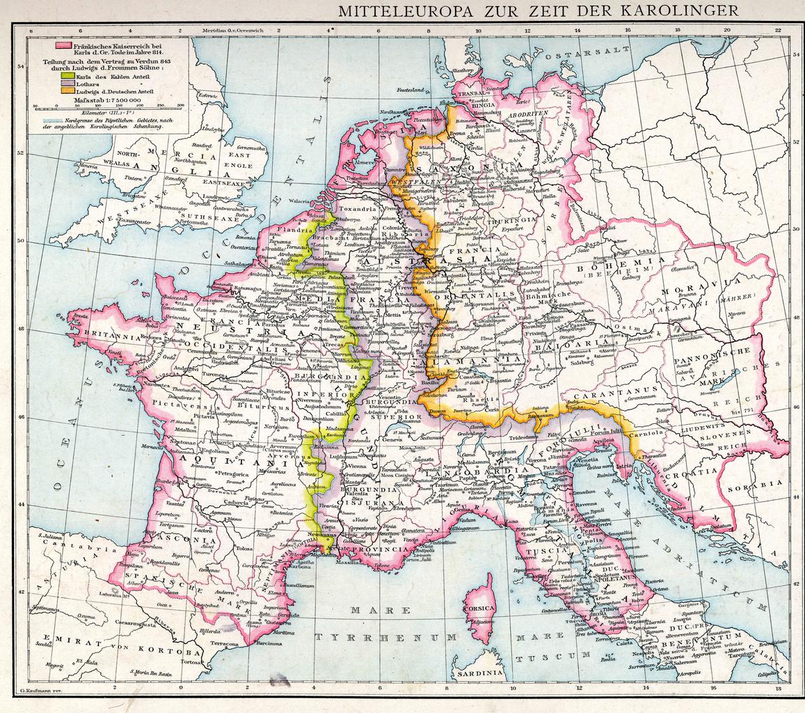
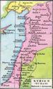
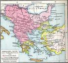
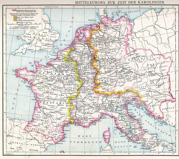
Droysensa. en The Frankish Empire at the death of Charlemagne in Main map from plate of Professor Droysens Allgemeiner Historischer Handatlas published by Andre Droysen Kaufmann rev PDold Carolus Magnus Atlas of Europe Maps from Allgemeiner Historischer Handatlas Maps showing history of the Early Middle Ages Treaty of Verdun Maps