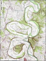
Related Images


Download:
| Tiny | 96x128 | View | Download |
| Small | 193x256 | View | Download |
| Medium | 387x512 | View | Download |
| Large | 775x1024 | View | Download |
| Original | 1882x2485 | View | Download |
This image was acquired from
wikimedia. It was marked as Public Domain or CC0 and is free to use. To verify, go to the source and check the information there.
Looking for more info about this image?
Try a Google Reverse Image Search for it.
Try a Google Reverse Image Search for it.
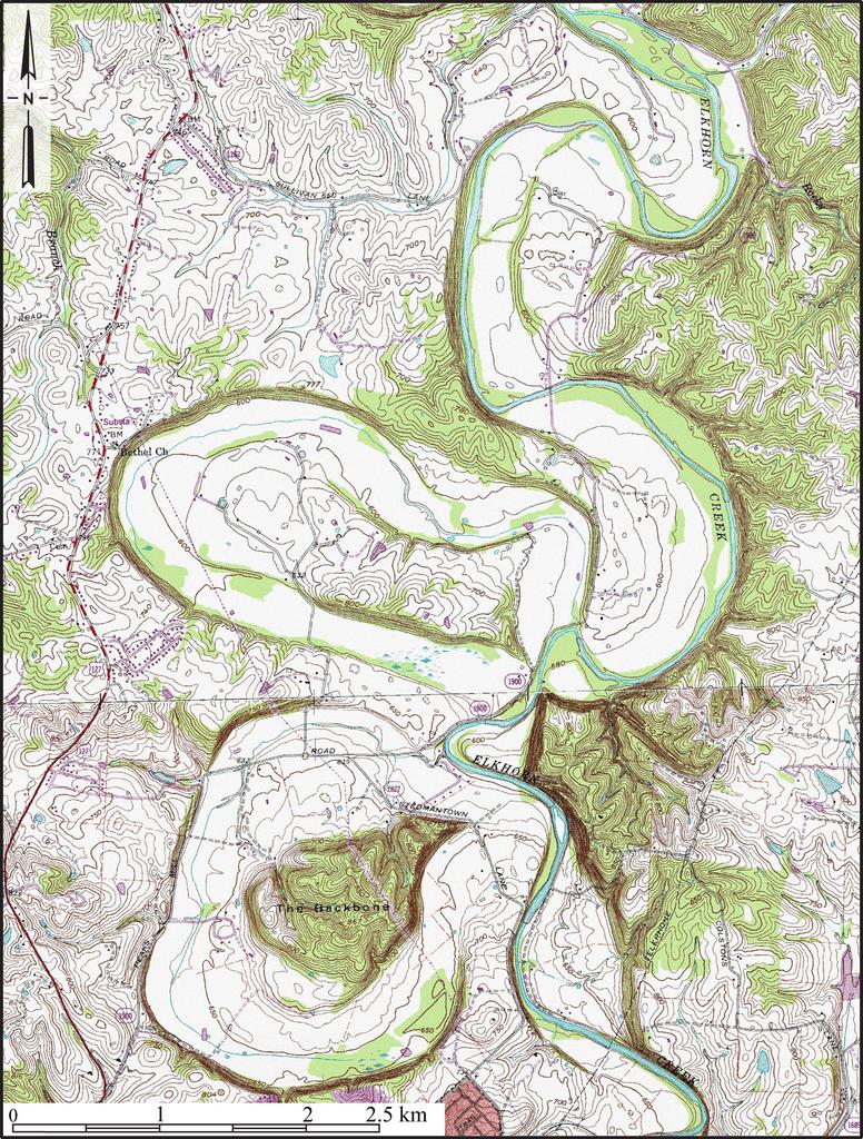
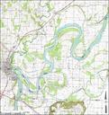
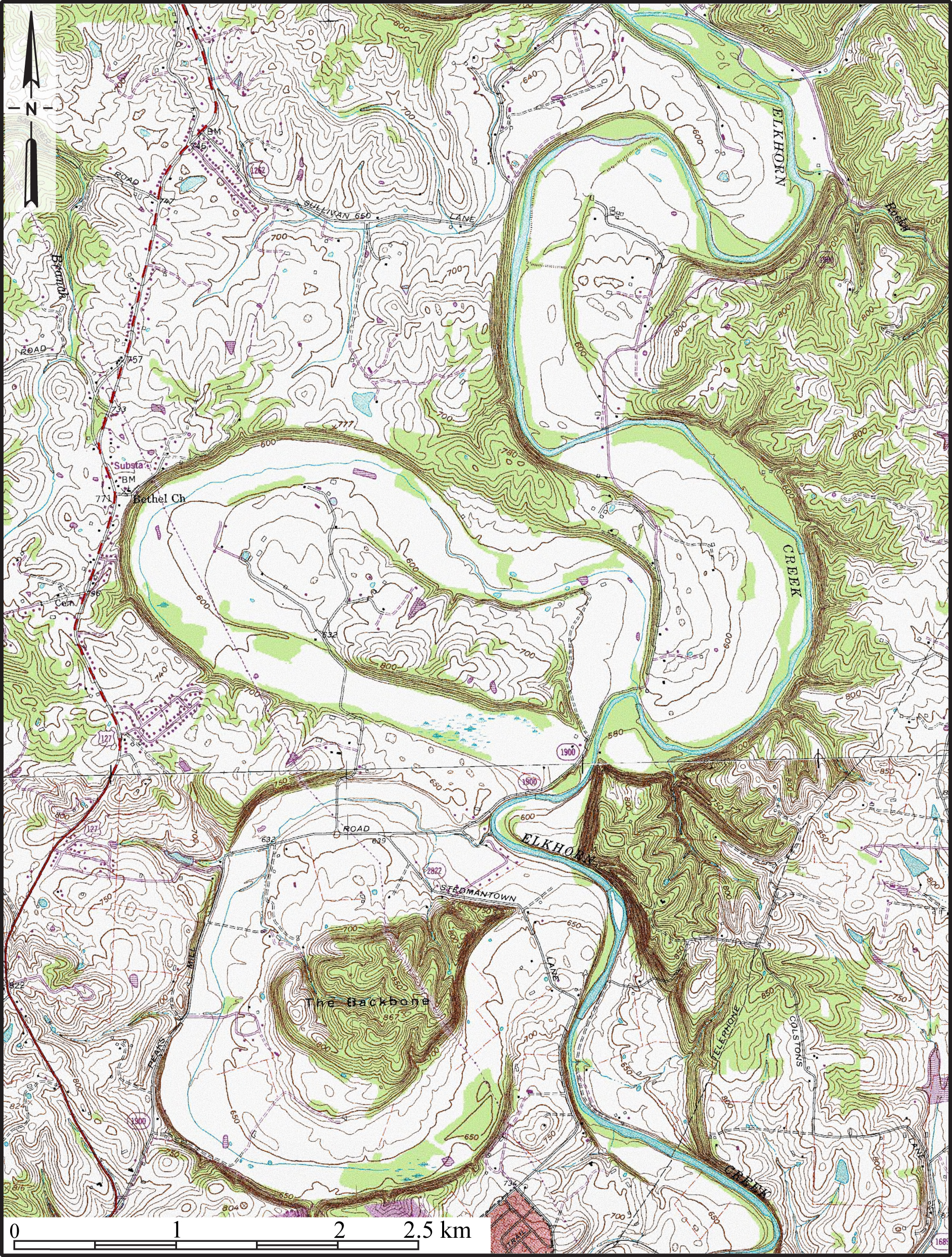
Keywords from Image Description:
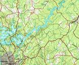
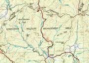
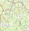
EntrenchedMeandersKYTopo. en Topographic map of entrenched meanders of Elkhorn Creek Franklin County Kentucky Constructed from county topographic map DRG mosaic from USDA National Cartography Geospatial Center using Global Mapper and Adobe Illustrator Contour interval feet Latitude ' Longitude ' UUSDA United States Geological