Related Images


Download:
| Tiny | 102x128 | View | Download |
| Small | 205x256 | View | Download |
| Medium | 411x512 | View | Download |
| Large | 822x1024 | View | Download |
| Original tiff | 5428x6754 | View | Download |
| Original as jpg | 5428x6754 | View | Download |
This image was acquired from
wikimedia. It was marked as Public Domain or CC0 and is free to use. To verify, go to the source and check the information there.
Looking for more info about this image?
Try a Google Reverse Image Search for it.
Try a Google Reverse Image Search for it.
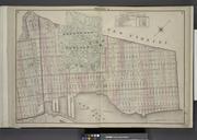
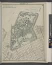
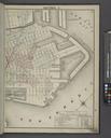
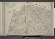
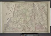
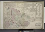
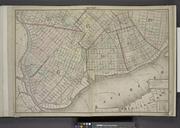
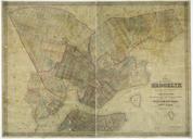
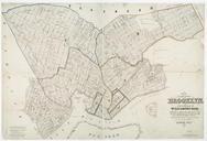
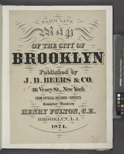
Keywords from Image Description:
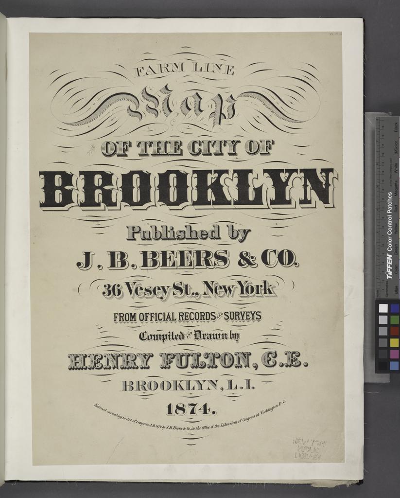
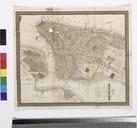
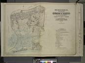
Farm Line Map of the City of Brooklyn Published by J.B. Beers and co. Vesey St. New York. From official records and surveys compiled and drawn by Henry Fulton C.E. Brooklyn L.I. . Entered NYPL. Farm Line Map of the City of Brooklyn Published by Beers and co Vesey St New York From official records and surveys compiled and drawn