Related Images
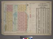
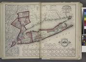
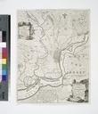

Download:
| Tiny | 241x128 | View | Download |
| Small | 482x256 | View | Download |
| Medium | 965x512 | View | Download |
| Large | 1930x1024 | View | Download |
| Original tiff | 13500x7161 | View | Download |
| Original as jpg | 13500x7161 | View | Download |
This image was acquired from
wikimedia. It was marked as Public Domain or CC0 and is free to use. To verify, go to the source and check the information there.
Looking for more info about this image?
Try a Google Reverse Image Search for it.
Try a Google Reverse Image Search for it.
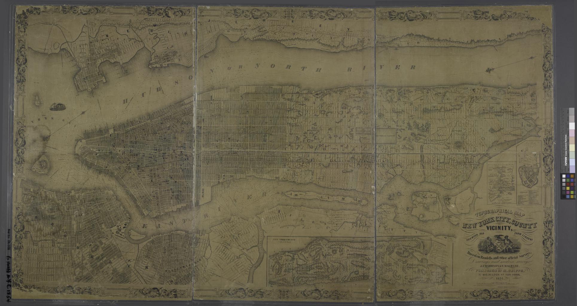
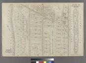
Keywords from Image Description:
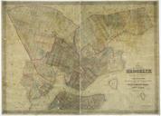
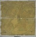
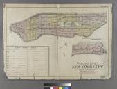
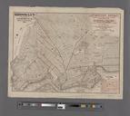
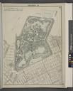
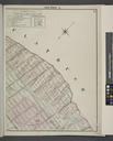
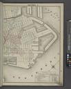
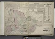
Topographical map of New York City County and vicinity showing old farm lines etc based on Randells and other official surveys drawings and modern surveys by J.F. Harrison and T. NYPL. Topographical map of New York City County and vicinity showing old farm lines etc based on Randells and other official surveys drawings and modern