Related Images


This image was acquired from
wikimedia. It was marked as Public Domain or CC0 and is free to use. To verify, go to the source and check the information there.
Looking for more info about this image?
Try a Google Reverse Image Search for it.
Try a Google Reverse Image Search for it.
Keywords from Image Description:
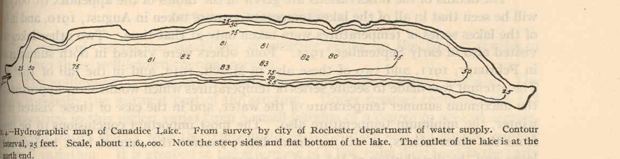
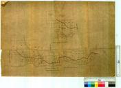
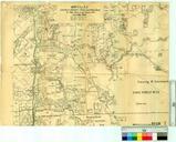
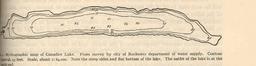
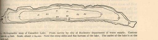
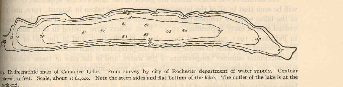
FMIB Hydrographic map of Canadice Lake From survey by city of Rochester department of water supply Contour interval feet.jpeg check categories September Hydrographic map of Canadice Lake From survey by city of Rochester department of water supply Contour interval feet Subject LakesNew York State Maps Finger Lakes New York Maps