Related Images


Download:
| Tiny | 115x128 | View | Download |
| Small | 230x256 | View | Download |
| Medium | 460x512 | View | Download |
| Large | 920x1024 | View | Download |
| Original | 3000x3336 | View | Download |
This image was acquired from
wikimedia. It was marked as Public Domain or CC0 and is free to use. To verify, go to the source and check the information there.
Looking for more info about this image?
Try a Google Reverse Image Search for it.
Try a Google Reverse Image Search for it.
Keywords from Image Description:
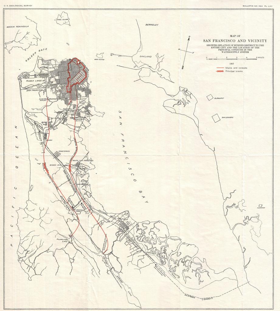
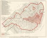
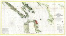
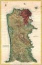
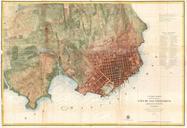
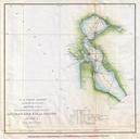
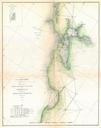
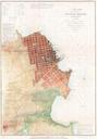
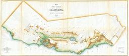
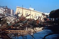
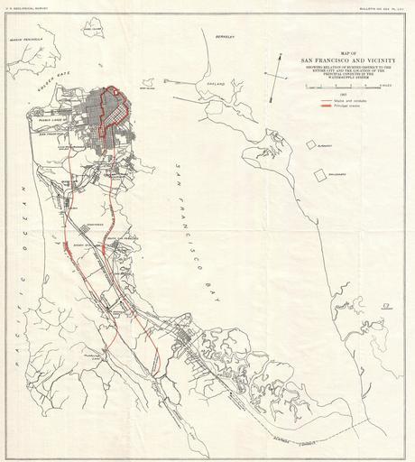
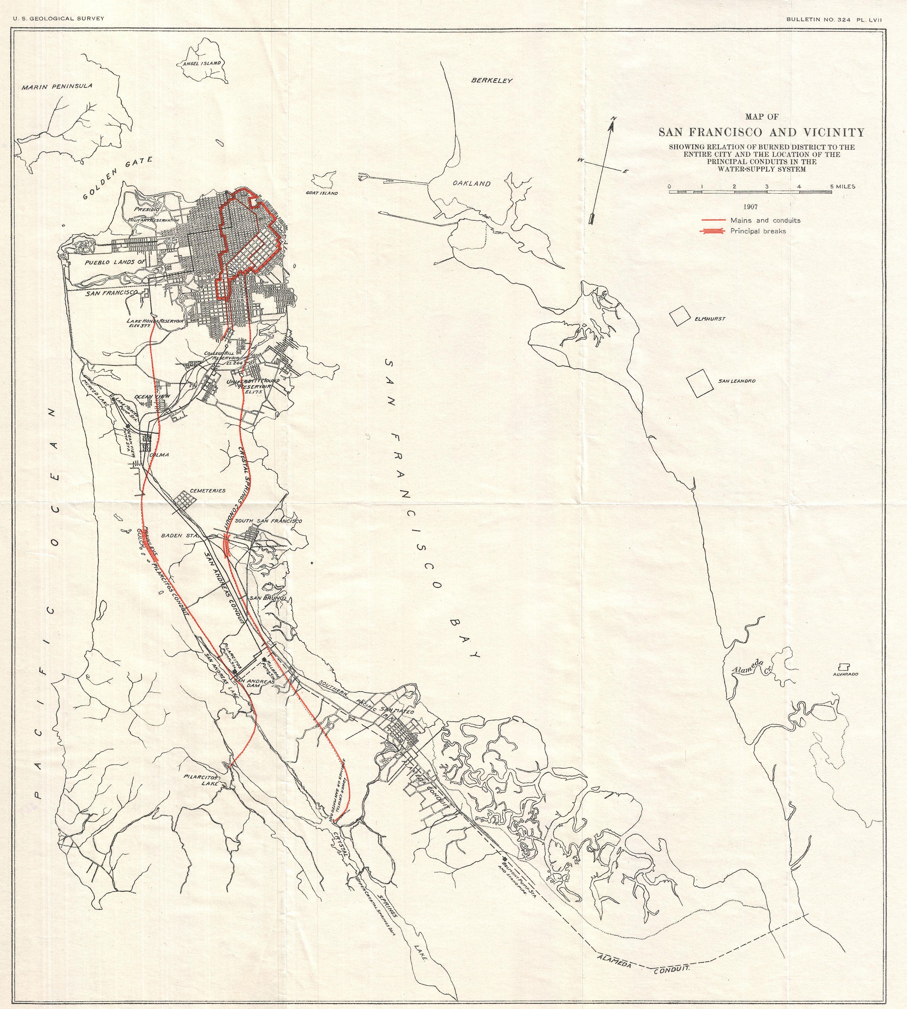
Geological Survey Map of San Francisco Peninsula after Earthquake Geographicus Sanfranciscogeologicalsurvey. An unusual map of San Francisco Peninsula and part of San Francisco Bay dating to This map was published by the Geological Survey following the terrible San Francisco Earthquake and Fire of This natural disaster comparable