Related Images


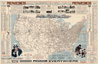
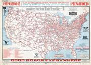

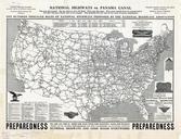
Download:
| Tiny | 227x128 | View | Download |
| Small | 455x256 | View | Download |
| Medium | 910x512 | View | Download |
| Original | 1535x863 | View | Download |
This image was acquired from
wikimedia. It was marked as Public Domain or CC0 and is free to use. To verify, go to the source and check the information there.
Looking for more info about this image?
Try a Google Reverse Image Search for it.
Try a Google Reverse Image Search for it.
Keywords from Image Description:
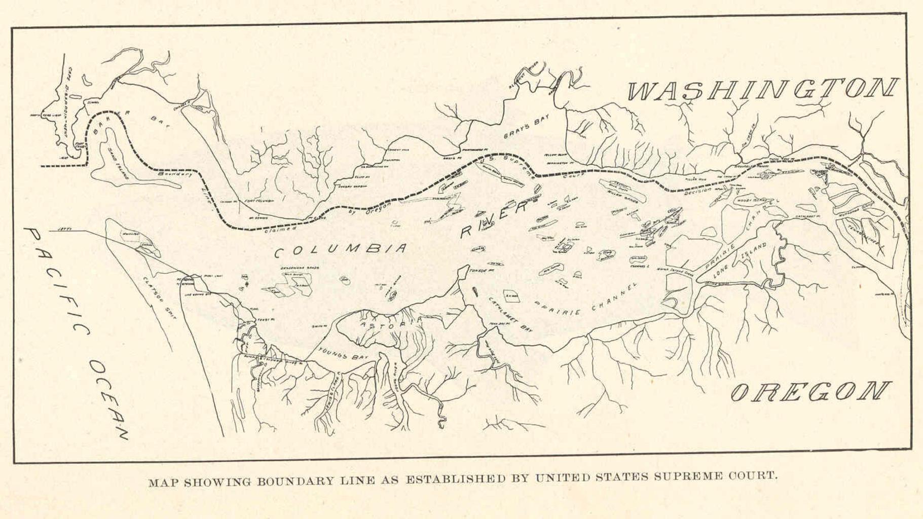
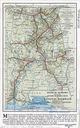
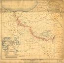
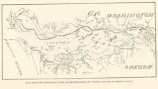
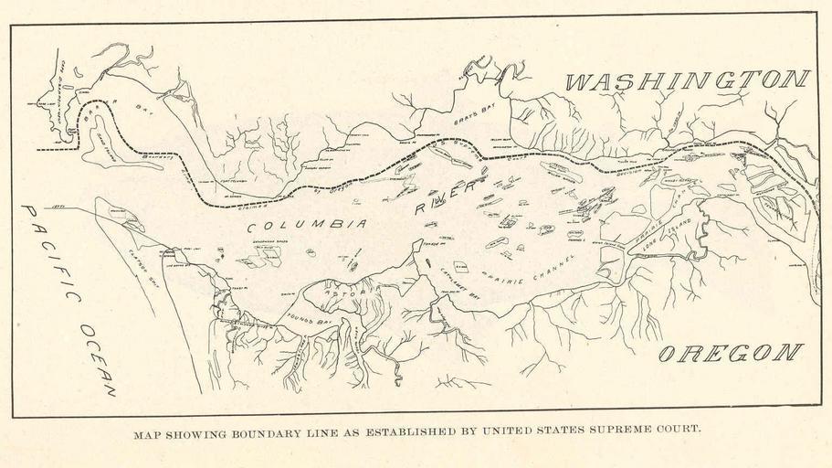
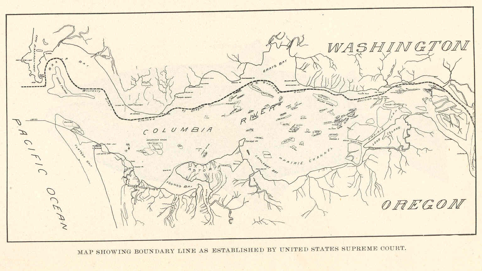
FMIB Map Showing Boundary Line as established by United States Supreme Court.jpeg check categories August Map Showing Boundary Line as established by United States Supreme Court Subject Columbia RiverMaps Washington State Maps OregonMaps Geographic Subject United StatesColumbia River Tag Coasts Cite book Annual reports of the