Related Images


Download:
| Tiny | 89x128 | View | Download |
| Small | 178x256 | View | Download |
| Medium | 357x512 | View | Download |
| Large | 715x1024 | View | Download |
| Original | 989x1415 | View | Download |
This image was acquired from
wikimedia. It was marked as Public Domain or CC0 and is free to use. To verify, go to the source and check the information there.
Looking for more info about this image?
Try a Google Reverse Image Search for it.
Try a Google Reverse Image Search for it.
Keywords from Image Description:
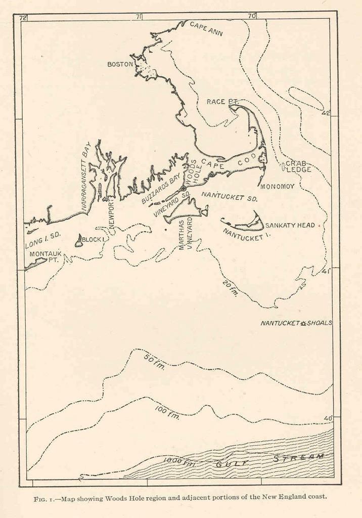
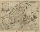
FMIB Map showing Woods Hole region and adjacent portions of the New England coast.jpeg check categories September Map showing Woods Hole region and adjacent portions of the New England coast Subject MassachusettsMaps Atlantic OceanMaps Geographic Subject United StatesMassachusetts Atlantic Ocean Tag Coasts Cite book Intensive