Related Images


Download:
| Tiny | 155x128 | View | Download |
| Small | 310x256 | View | Download |
| Medium | 621x512 | View | Download |
| Original | 759x625 | View | Download |
This image was acquired from
wikimedia. It was marked as Public Domain or CC0 and is free to use. To verify, go to the source and check the information there.
Looking for more info about this image?
Try a Google Reverse Image Search for it.
Try a Google Reverse Image Search for it.
Keywords from Image Description:
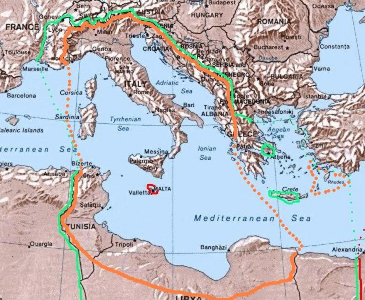
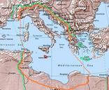
GreaterItalia. Map of the project Imperial Italia inside the orange line and dots in Europe and North Africa Selfmade have based my work on the original Commons Image Mediterranean Relief PDUSGov The green line and dots show the biggest extension of Italian control in the Mediterranean sea in november while the red shows the British