
Related Images

Download:
| Tiny | 172x128 | View | Download |
| Small | 345x256 | View | Download |
| Medium | 691x512 | View | Download |
| Large | 1383x1024 | View | Download |
| Original | 6000x4441 | View | Download |
This image was acquired from
wikimedia. It was marked as Public Domain or CC0 and is free to use. To verify, go to the source and check the information there.
Looking for more info about this image?
Try a Google Reverse Image Search for it.
Try a Google Reverse Image Search for it.
Keywords from Image Description:
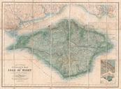
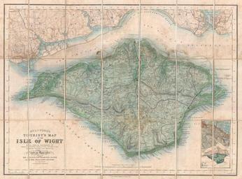
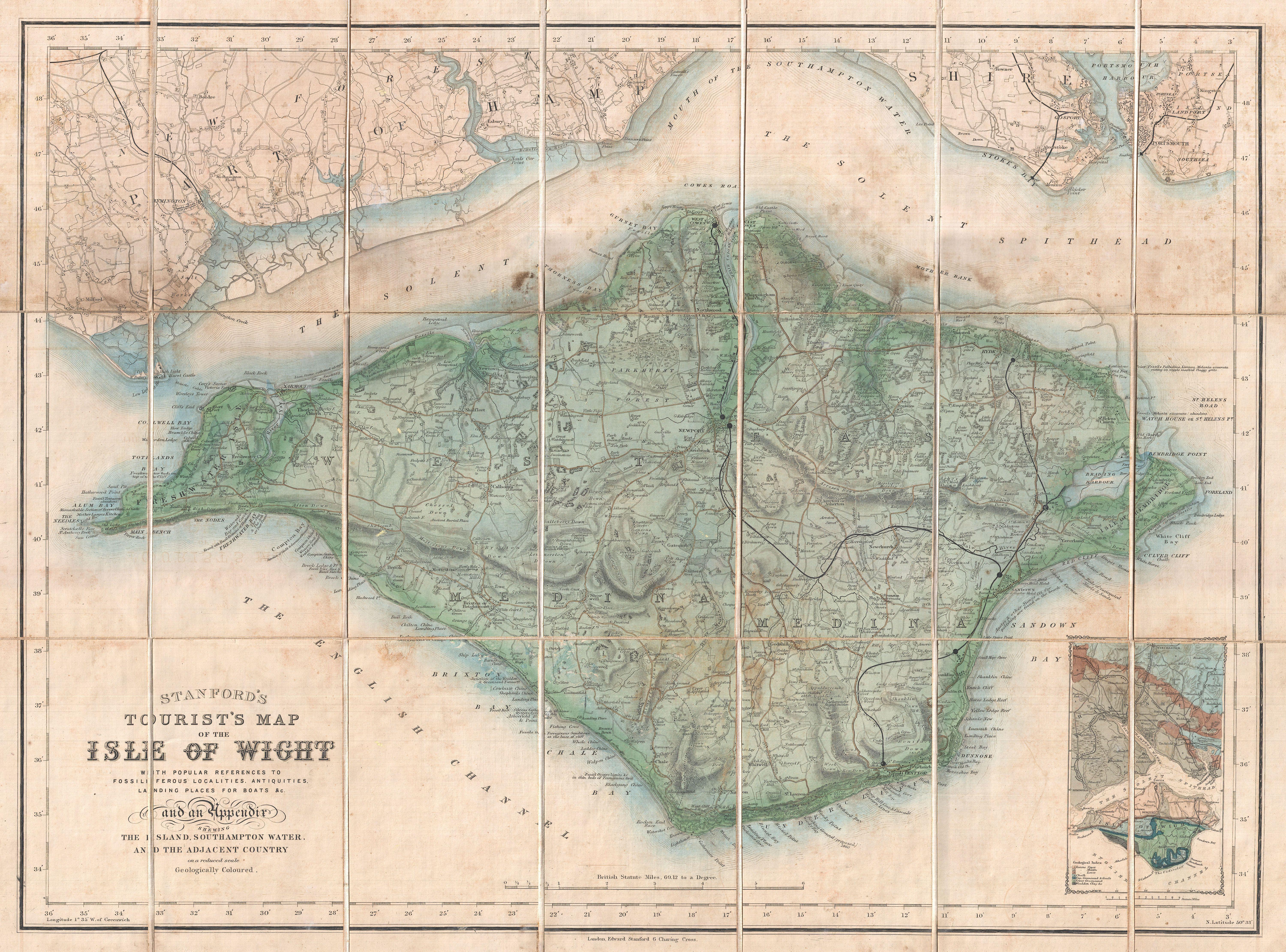
Stanford Pocket Map of the Isle of Wight England Geographicus IsleofWightstanford. An uncommon pocket map of the Isle of Wight prepared by Edward Stanford Covers the entire island as well as adjacent parts of Hampshire across the Solent Spithead Wight is known for its unusual geology and ancient fossil This map attempts to locate