Related Images


Download:
| Tiny | 97x128 | View | Download |
| Small | 194x256 | View | Download |
| Medium | 389x512 | View | Download |
| Original | 648x851 | View | Download |
This image was acquired from
wikimedia. It was marked as Public Domain or CC0 and is free to use. To verify, go to the source and check the information there.
Looking for more info about this image?
Try a Google Reverse Image Search for it.
Try a Google Reverse Image Search for it.
Keywords from Image Description:
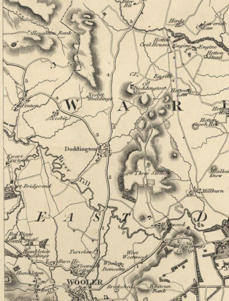
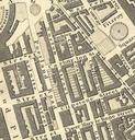
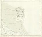
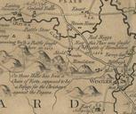
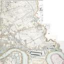
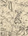
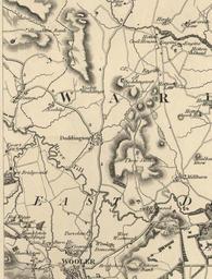
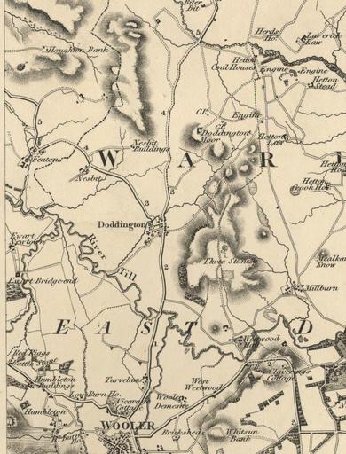
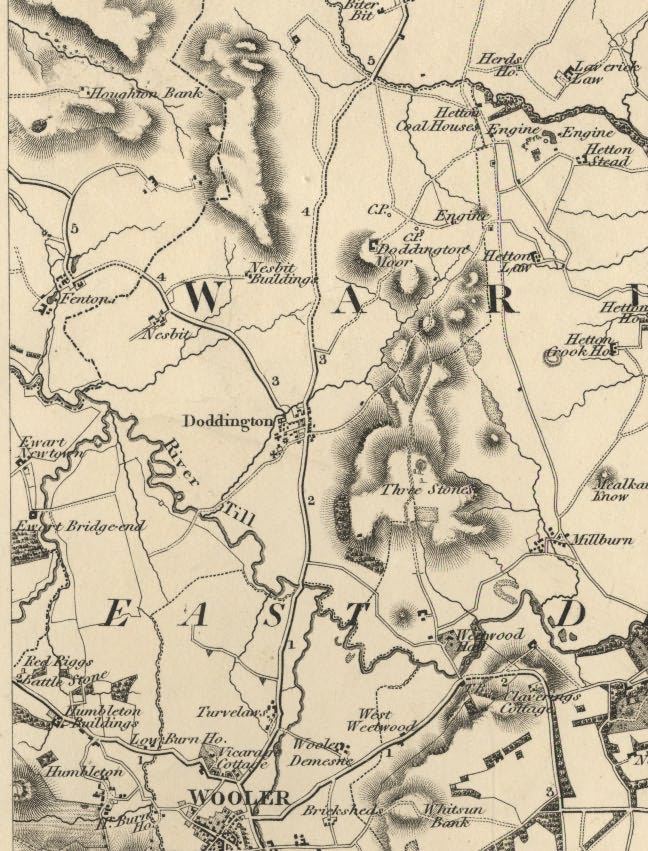
Greenwood's Map of Northumberland. This is section of Christopher John Greenwoods' Map of the County of Northumberland showing Doddington and the surrounding area Greenwood's map was drawn to scale of approximately one inch to three miles It was surveyed and printed between Source northumberland gov uk htm PDold Maps of Northumberland