
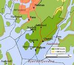
Related Images


Download:
| Tiny | 163x128 | View | Download |
| Small | 326x256 | View | Download |
| Medium | 653x512 | View | Download |
| Large | 1307x1024 | View | Download |
| Original png | 1314x1029 | View | Download |
| Original as jpg | 1314x1029 | View | Download |
This image was acquired from
wikimedia. It was marked as Public Domain or CC0 and is free to use. To verify, go to the source and check the information there.
Looking for more info about this image?
Try a Google Reverse Image Search for it.
Try a Google Reverse Image Search for it.
Keywords from Image Description:
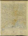
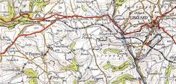
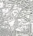
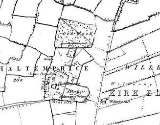
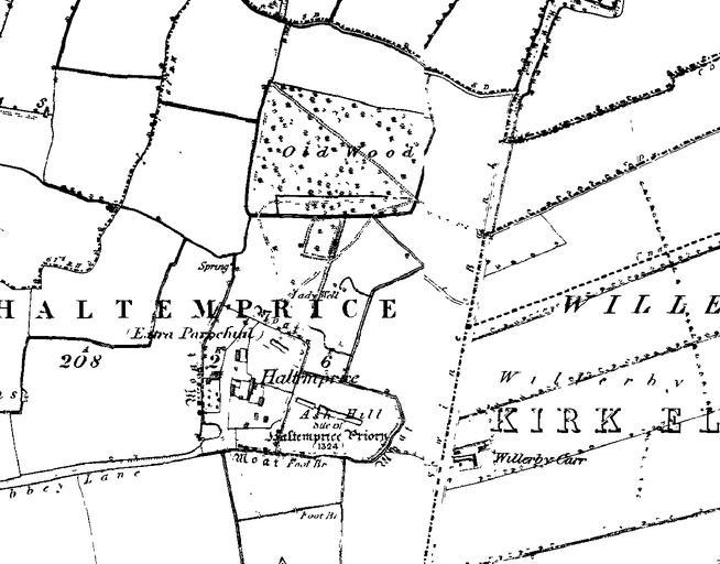
Haltemprice priory os map . Image produced from the oldmaps co uk www oldmaps co uk service with permission of landmarkinformation co uk Landmark Information Group Ltd and ordnancesurvey co uk Ordnance Survey An Ordnance Survey map showing the location of the Haltemprice Priory site Note the location of the priory moats and