Download:
| Tiny | 151x128 | View | Download |
| Small | 302x256 | View | Download |
| Medium | 604x512 | View | Download |
| Large | 1209x1024 | View | Download |
| Original | 1311x1110 | View | Download |
This image was acquired from
wikimedia. It was marked as Public Domain or CC0 and is free to use. To verify, go to the source and check the information there.
Looking for more info about this image?
Try a Google Reverse Image Search for it.
Try a Google Reverse Image Search for it.
Keywords from Image Description:
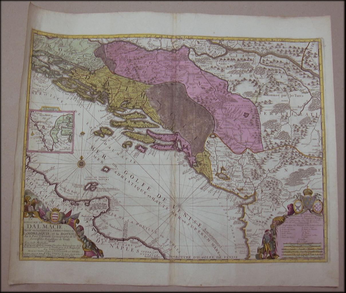
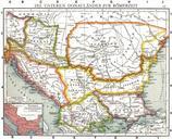
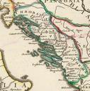
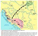
Historical map of Dalmatia and surroundings. Geografska karta Dalmacije Bosne Runa izradba Dimenzije Geographische Karte von Dalmatien und Bosnien Dimensionen Geographic map of Dalmatia and Bosnia Handmade Dimensions Historical Archive Sarajevo arhivsa ba htm Website Before Ottoman Empire conquered these lands Crtao
