
Related Images

Download:
| Tiny | 126x128 | View | Download |
| Small | 253x256 | View | Download |
| Medium | 506x512 | View | Download |
| Large | 1012x1024 | View | Download |
| Original | 1905x1926 | View | Download |
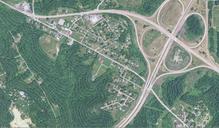
This image was acquired from
wikimedia. It was marked as Public Domain or CC0 and is free to use. To verify, go to the source and check the information there.
Looking for more info about this image?
Try a Google Reverse Image Search for it.
Try a Google Reverse Image Search for it.
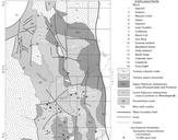
Keywords from Image Description:
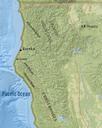
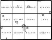
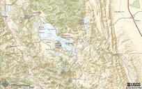
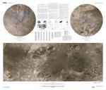
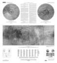
Humboldt County Geology Map USGS. en Geology of Cape Mendocino and Eureka Minute Quadrangles and Adjacent Offshore Area Humboldt County Northern California usgs gov United States Geological Survey PDUSGov region US Maps of Humboldt County California Geological maps of California