
Related Images


Download:
| Tiny | 218x128 | View | Download |
| Small | 437x256 | View | Download |
| Medium | 874x512 | View | Download |
| Large | 1749x1024 | View | Download |
| Original png | 1770x1036 | View | Download |
| Original as jpg | 1770x1036 | View | Download |
This image was acquired from
wikimedia. It was marked as Public Domain or CC0 and is free to use. To verify, go to the source and check the information there.
Looking for more info about this image?
Try a Google Reverse Image Search for it.
Try a Google Reverse Image Search for it.
Keywords from Image Description:
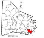
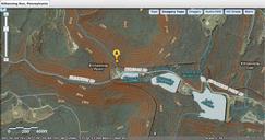
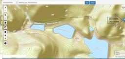
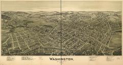
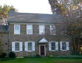
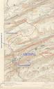
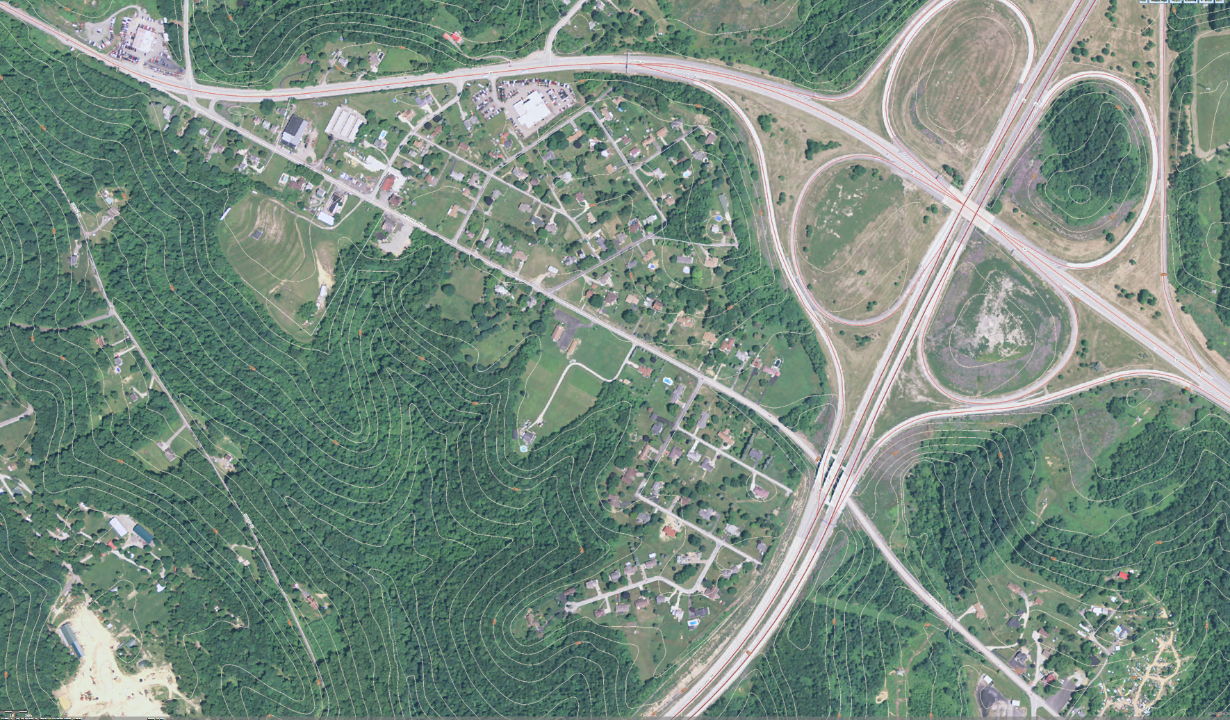
USGS topo MapMalden neighborhood of Centerville region Washington County Pennsylvania with PA US Old National Road. Pennsylvania borough headquarters building is located short distance from old US the National Pike along the approach road to the housing neighborhood That town building currently registers as the GNIS coordinates