
Related Images
Download:
| Tiny | 101x128 | View | Download |
| Small | 203x256 | View | Download |
| Medium | 407x512 | View | Download |
| Original | 700x879 | View | Download |
This image was acquired from
wikimedia. It was marked as Public Domain or CC0 and is free to use. To verify, go to the source and check the information there.
Looking for more info about this image?
Try a Google Reverse Image Search for it.
Try a Google Reverse Image Search for it.
Keywords from Image Description:
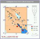
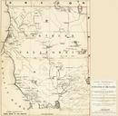
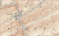
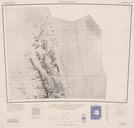
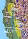
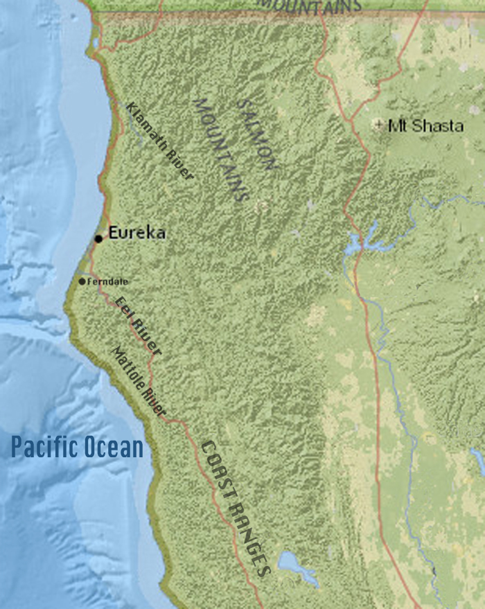
Northern California Map USGS Topography. en map of Northern California from the United States Geological Survey Earthquakes Hazard Program showing the towns of Eureka and Ferndale three local rivers United States road routes mountain ranges and Mount Shasta usgs gov Earthquake Hazards Program United States Geological Survey United