Related Images


Download:
| Tiny | 58x128 | View | Download |
| Small | 116x256 | View | Download |
| Medium | 232x512 | View | Download |
| Large | 464x1024 | View | Download |
| Original tiff | 2688x5923 | View | Download |
| Original as jpg | 2688x5923 | View | Download |
This image was acquired from
wikimedia. It was marked as Public Domain or CC0 and is free to use. To verify, go to the source and check the information there.
Looking for more info about this image?
Try a Google Reverse Image Search for it.
Try a Google Reverse Image Search for it.
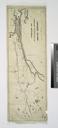
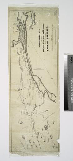
Keywords from Image Description:
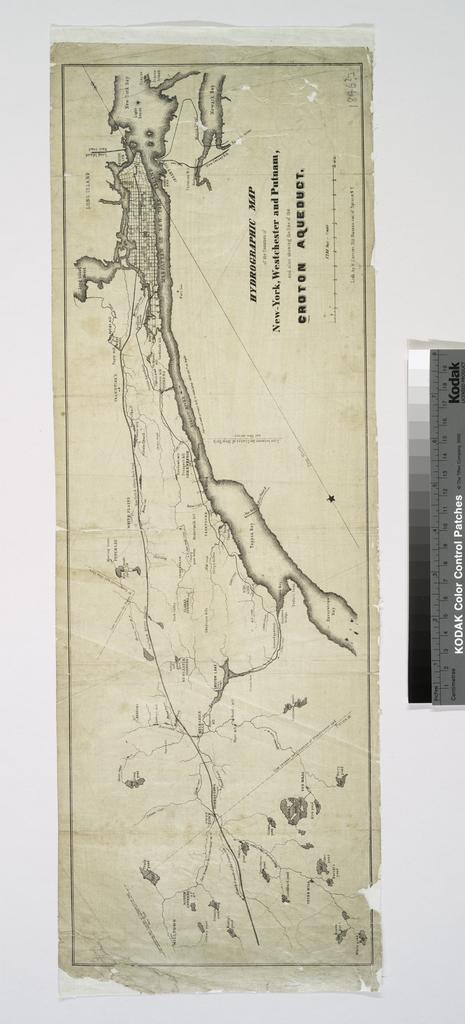
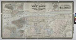
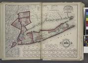
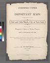
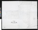
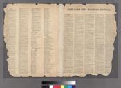
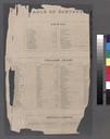
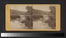
Hydrographic map of the counties of NewYork Westchester and Putnam and also showing the line of the Croton aqueduct. NYPL. Hydrographic map of the counties of NewYork Westchester and Putnam and also showing the line of the Croton aqueduct Maps of New York City and State Parts Croton Water System Information field Location Stephen