Related Images


Download:
| Tiny | 113x128 | View | Download |
| Small | 226x256 | View | Download |
| Medium | 453x512 | View | Download |
| Large | 906x1024 | View | Download |
| Original png | 1075x1214 | View | Download |
| Original as jpg | 1075x1214 | View | Download |
This image was acquired from
wikimedia. It was marked as Public Domain or CC0 and is free to use. To verify, go to the source and check the information there.
Looking for more info about this image?
Try a Google Reverse Image Search for it.
Try a Google Reverse Image Search for it.
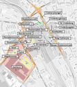
Keywords from Image Description:
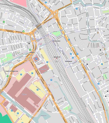
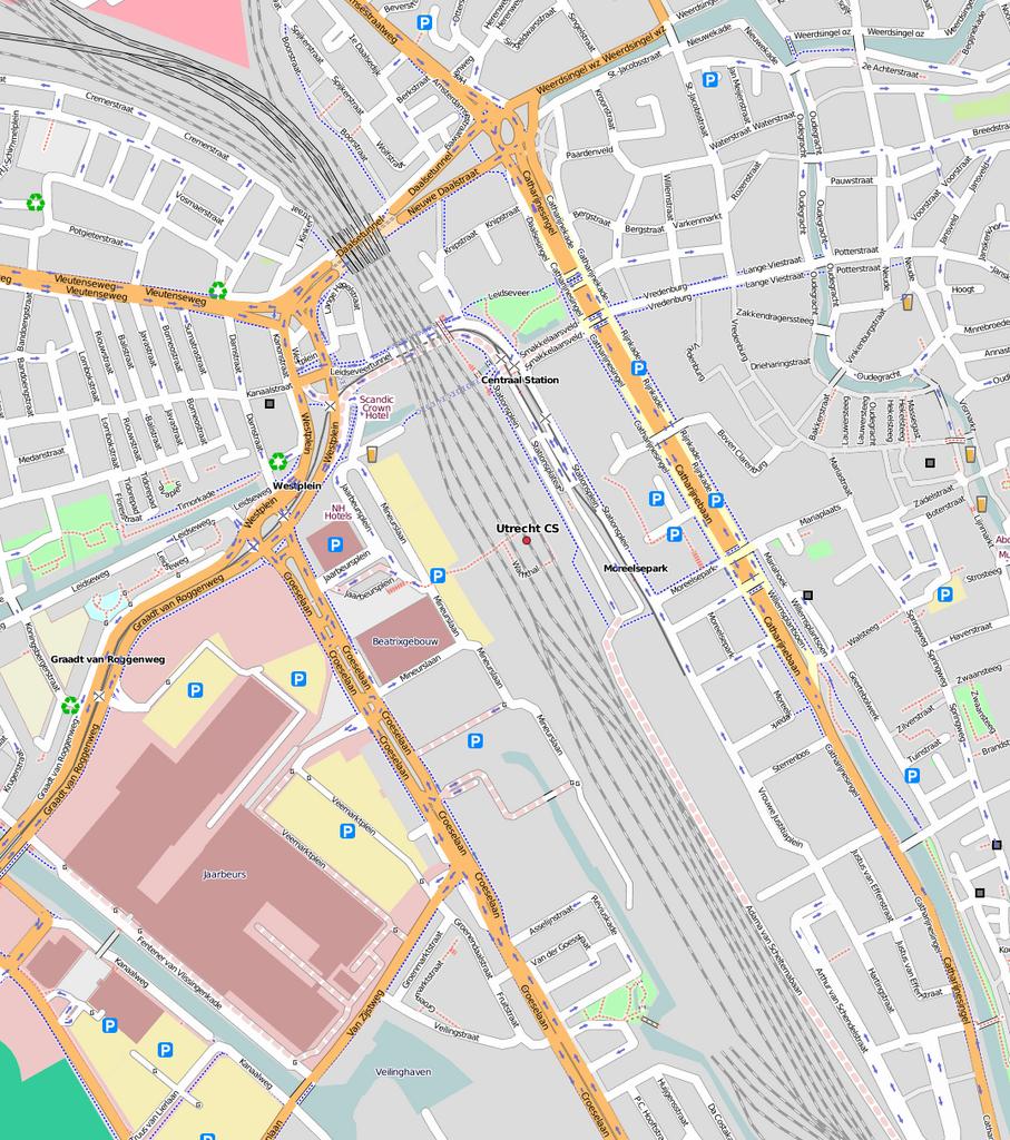
Kaart Stationsgebied Utrecht blank. nl Overzichtskaart van het project Aanpak Stationsgebied in Utrecht gemaakt met OpenStreetMap Bron cu nl Projectgebied is gekleurd belangrijkste onderdelen ervan zijn aangegeven own Luctor Image Kaart Stationsgebied Utrecht Maps of Utrecht city Aanpak Stationsgebied