Related Images


Download:
| Tiny | 170x128 | View | Download |
| Small | 341x256 | View | Download |
| Medium | 682x512 | View | Download |
| Original | 1280x960 | View | Download |
This image was acquired from
wikimedia. It was marked as Public Domain or CC0 and is free to use. To verify, go to the source and check the information there.
Looking for more info about this image?
Try a Google Reverse Image Search for it.
Try a Google Reverse Image Search for it.
Keywords from Image Description:
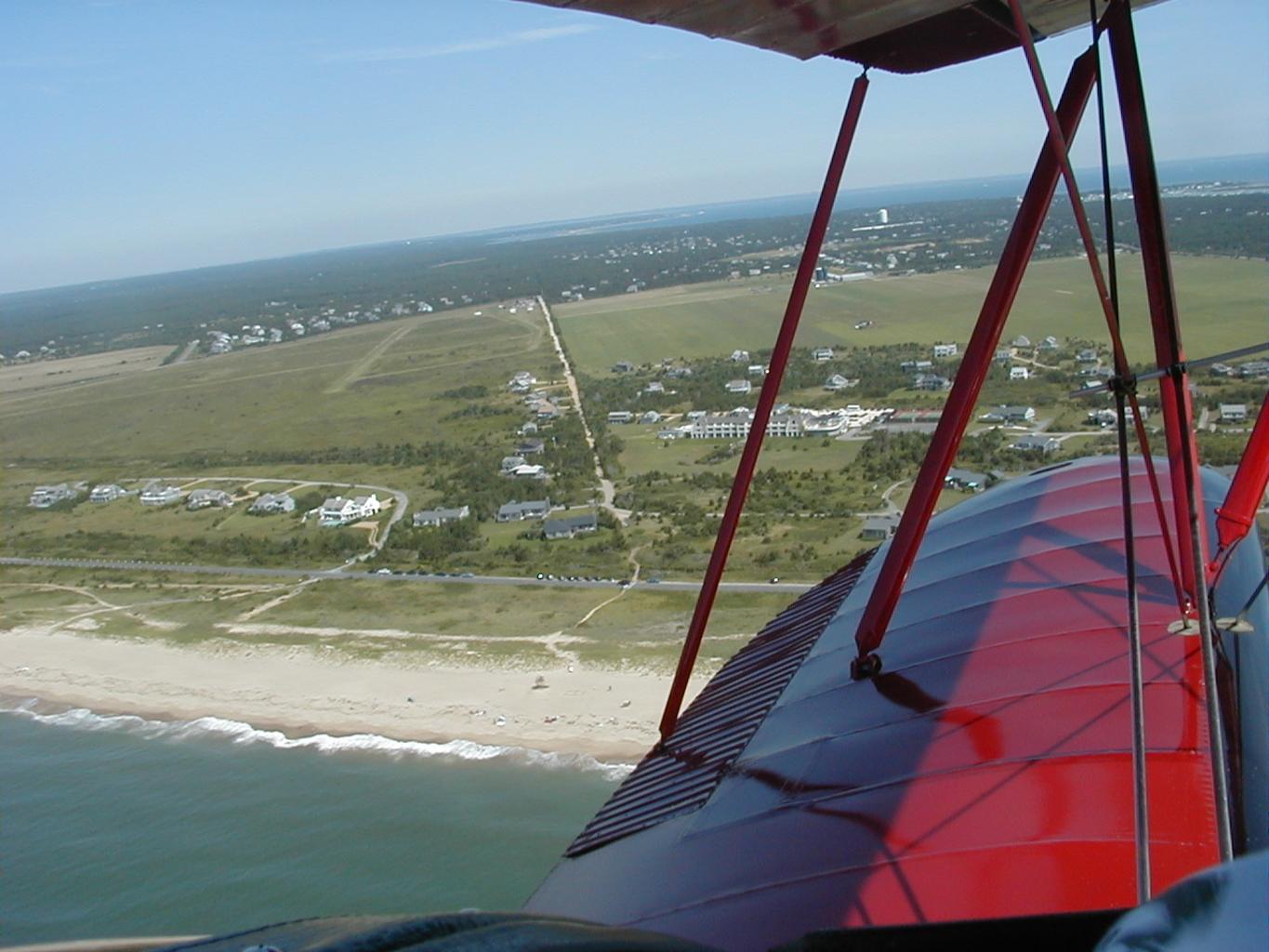
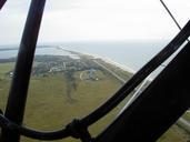
Katama or Edgartown Airfield. Aerial view of Katama Edgartown airfield in Edgartown MA Photo shows the airfield on the left and Katama Farm on the right South Beach is at the bottom of the photo The road running vertically in the center of the photo is Mattakesett Way separating the airfield on the left and Katama Farm on the right