
Related Images


Download:
| Tiny | 98x128 | View | Download |
| Small | 197x256 | View | Download |
| Medium | 395x512 | View | Download |
| Large | 790x1024 | View | Download |
| Original | 3086x4000 | View | Download |
This image was acquired from
wikimedia. It was marked as Public Domain or CC0 and is free to use. To verify, go to the source and check the information there.
Looking for more info about this image?
Try a Google Reverse Image Search for it.
Try a Google Reverse Image Search for it.
Keywords from Image Description:
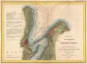
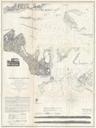
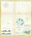
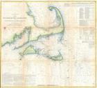
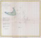
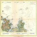
U.S. Coast Survey Map or Chart of Edgartown Harbor Martha's Vineyard Massachusetts Geographicus Edgartownuscs. very rare Coast Survey Map of Edgartown and Cotamy Bay on Martha's Vineyard Marthas Vineyard Massachusetts Depicts from Edgartown south to Mattakeesett Bay and east to the Opening of Offers countless depth soundings