
Related Images


Download:
| Tiny | 94x128 | View | Download |
| Small | 189x256 | View | Download |
| Medium | 379x512 | View | Download |
| Original gif | 600x809 | View | Download |
| Original as jpg | 600x809 | View | Download |
This image was acquired from
wikimedia. It was marked as Public Domain or CC0 and is free to use. To verify, go to the source and check the information there.
Looking for more info about this image?
Try a Google Reverse Image Search for it.
Try a Google Reverse Image Search for it.
Keywords from Image Description:
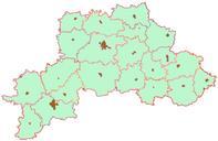
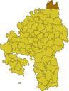
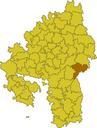
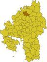
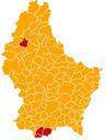
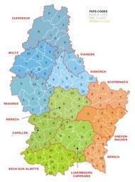
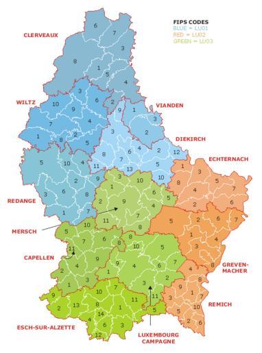
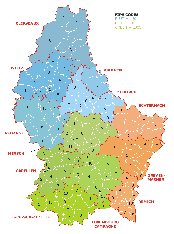
Luxembourg administrative subdivisions coloured. Map of the administrative divisions of Luxembourg Districts cantons and communes are marked and numbered according to FIPS code Own work based on Image Luxembourg geohive which previously had all rights released by its original author and publisher geohive GeoHive Updated for the